Share

Sportive

Ten of the best cycling climbs in Kent

Ten of the toughest, steepest and most scenic climbs in the Garden of England

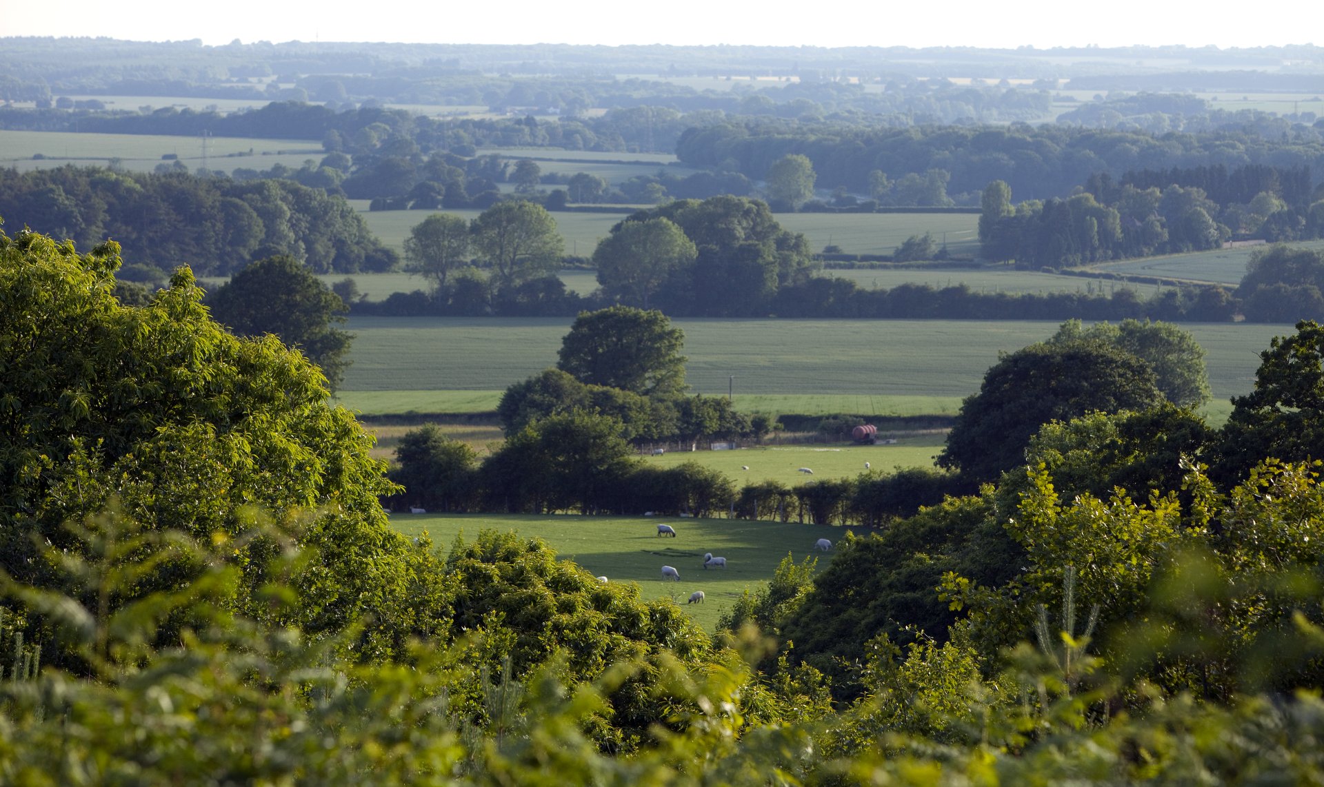
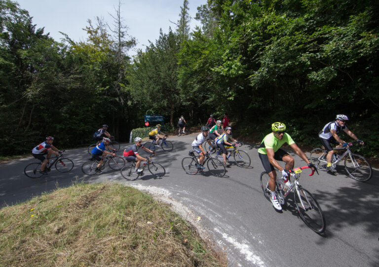
Kent may not renowned as an area for the hardest gradients or longest climbs but, if you look hard enough, you’ll find plenty to challenge cyclists of all abilities. It’s a county with no shortage of the short, steep ascents typical of the UK and plenty of picturesque riding. After all, Kent isn’t called the Garden of England for nothing.

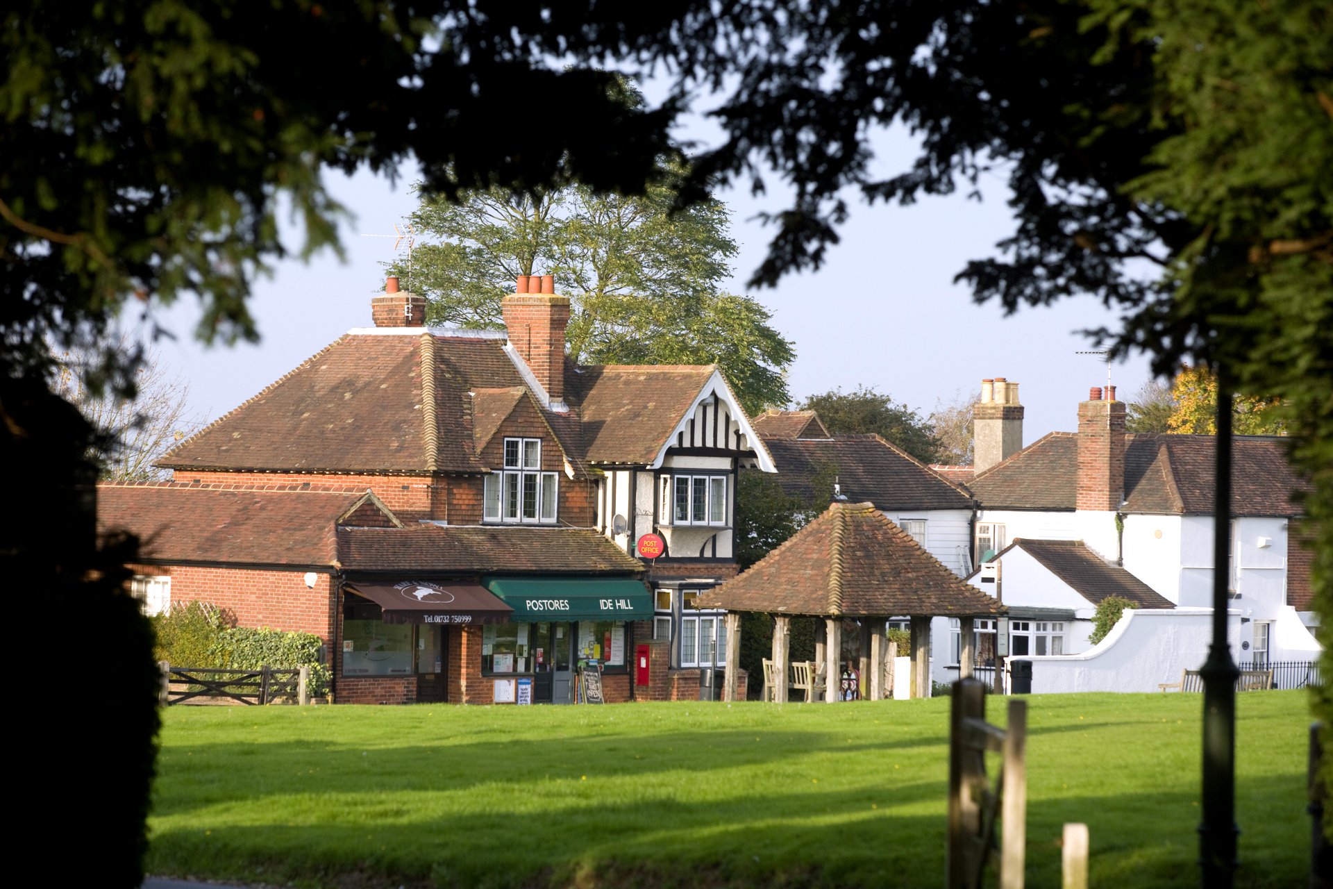
For cyclists who live in London, Kent offers the chance to escape from the city – to quiet, orchard-lined lanes, thigh-numbing climbs and idyllic cafe stops – while for riders who are lucky enough to live in the county itself, there’s a myriad of roads to explore.

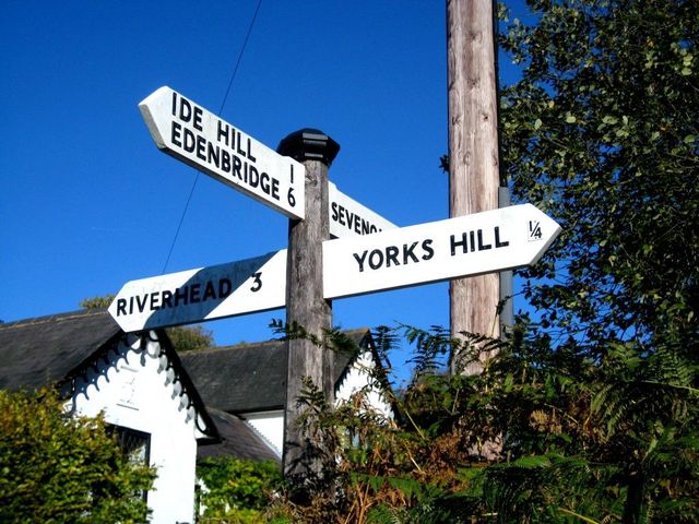
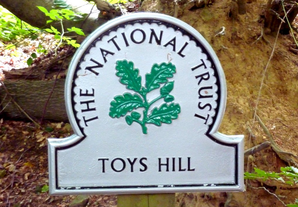
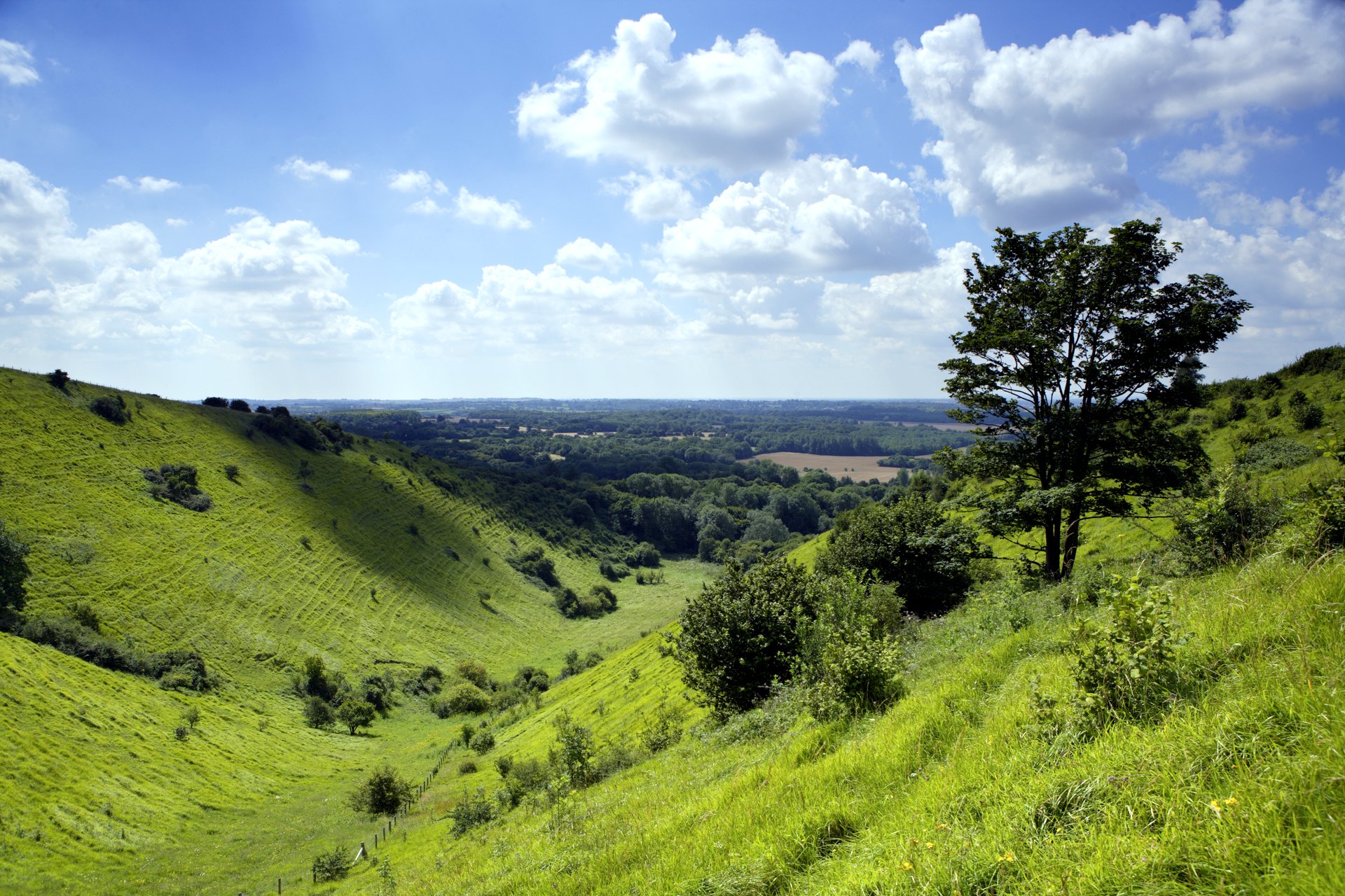
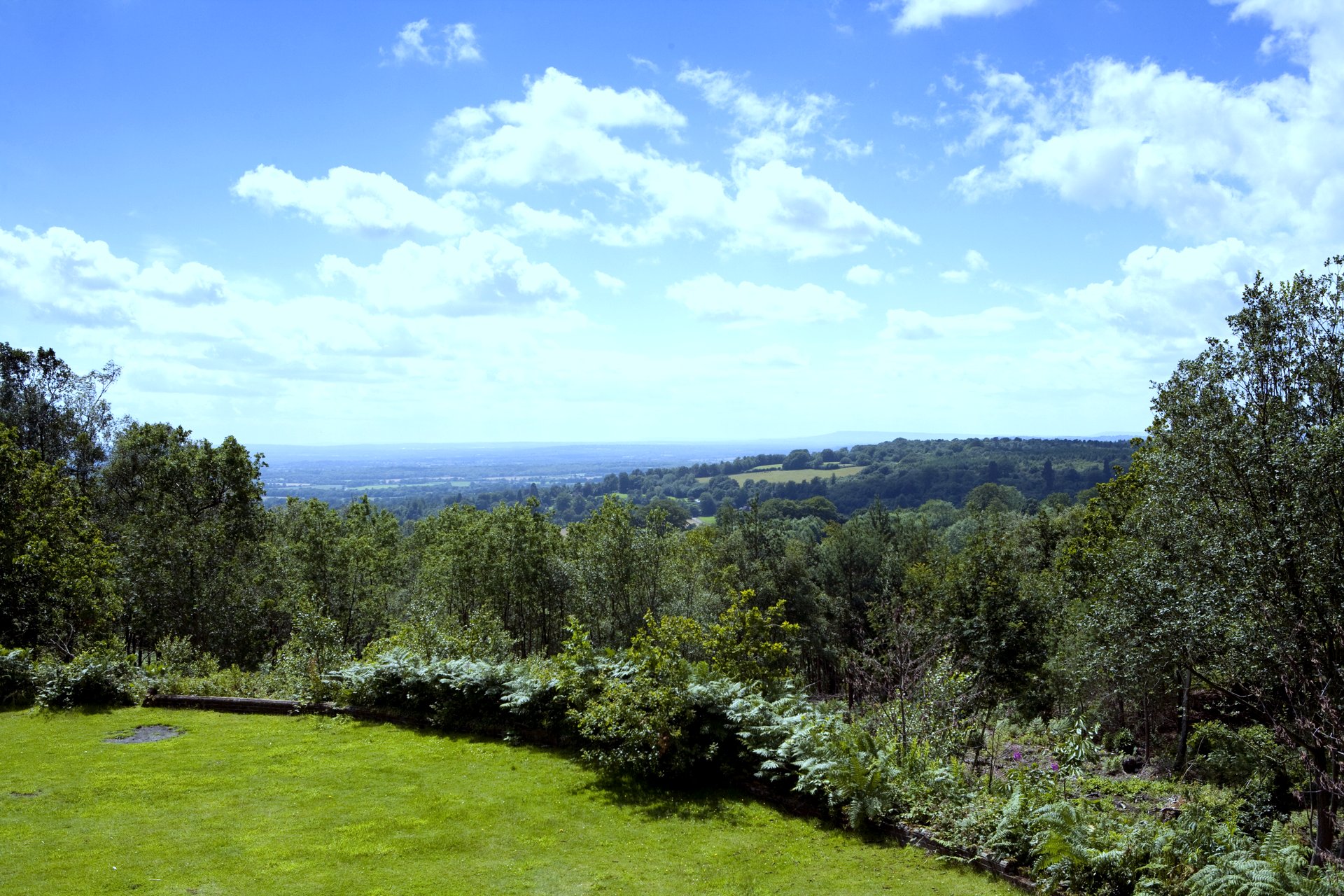
The hot spot for the best climbs, perhaps unsurprisingly, is centred around the North Downs, so you can string together many of the ascents here for a really tough day out. The North Downs actually start in Surrey, but are a range of hills which run through the heart of Kent, characterised by the white chalk made famous by the White Cliffs of Dover at their eastern tip.

If you’re looking for some of the best climbs to ride in Kent, here are ten which should definitely be on your list.

York’s Hill is a short but super-steep climb in the heart of the North Downs (Pic: Factory Media)

[series]

York’s Hill

York’s Hill kicks us off with some history – it plays host to the oldest continuing cycle race in the world: the Catford CC Hill Climb. Situated just south west of Sevenoaks, the hill climb has been running since 1886, and is played out over a climb which averages 12 per cent over 800m.

Of course, that doesn’t tell the whole story – the whole hill is 1.9km long, terminating at the B2042 junction and it gets steeper the higher you go, with two sharp stints of 25 per cent to really sap the energy from the legs as you approach the top. This is a climb where it pays not to go too hard, too soon.

The road cuts its way up the hillside, with embankments towering over either side of the narrow lane, making this a claustrophobic experience which only adds to the difficulty of the climb – one that’s really well worth the effort in visiting and conquering.

Vital statistics

Distance: 1.9km
Average gradient: Six per cent
Steepest gradient: 25 per cent

Toys Hill

Toys Hill inspired Octavia Hill to found the National Trust in 1895 and it’s an area which has lost little of its charm since, with dense woodland abundant in wildlife and spectacular views of the Weald of Kent from Puddledock Lane, close to the summit of the climb. The hill itself is home to the hamlet of Toys Hill at the very summit, and actually has two ascents.

Toys Hill, Kent (Pic: Andrew Bowden/Creative Commons)

The pick of these is the southerly ascent, starting from just north of Four Elms. At 2.5km long, it gradually gets harder as you get further up, with shallow gradients at the bottom morphing into near-20 per cent pitches towards the end. Both its length and the gradient make this one of the toughest ascents in Kent.

From the north, the other side of the climb, known as Brasted Chart, averages five per cent over a 2.9km rise starting from the A25. This way is slightly steadier and more consistent, allowing you to gather a smoother rhythm on the way to the top.

Vital statistics

South-North (Toys Hill)
Distance: 2.5km
Average gradient: Seven per cent
Steepest gradient: 20 per cent

Downe Road

Downe Road is situated right next to Biggin Hill, and is a short, sharp test which will test even the most punchiest of puncheurs who attempt it.

At only 400m long, you’d be forgiven for thinking it’s more of a rise than a climb – but don’t be fooled. The gradient gets steadily steeper to drain your resources, before an impossibly steep pitch of more than 20 per cent as the road kicks from left to right. You’ll be glad when it’s over.

For an alternative route up the same ridge, consider Cudham Test Hill. The gradient is more consistent but you’re still looking at an average of 13 per cent for 300m.

Vital statistics

Distance: 0.4km
Average gradient: 11 per cent
Steepest gradient: 22 per cent

Star Hill

Star Hill starts from just off the A224, which runs parallel to the M25, and heads straight upwards for 1.2km. The gradient starts off relatively shallow as you turn away from the roundabout, then gets steeper as the road swings left, before it reaches its steepest – around 11 per cent – as you then head right.

The gradient then eases again as you approach the top, bringing the average down to eight per cent, and then as the road flattens you have the chance to work out some of the lactic acid which will no doubt have accumulated in your legs.  With an average gradient of eight per cent, you gain 119m in elevation over the course of the segment.

Vital statistics

Distance: 1.2km
Average gradient: Eight per cent
Steepest gradient: 11 per cent

Brasted Hill

Running adjacent to the M25, just south east of Biggin Hill, is a ridge which offers a serious challenge for road cyclists. There are many ways up, including the Hogtrough Hill and Sundridge Lane, but the pick has to be Brasted Hill, which sits between the two.

Brasted Hill eases you in but then rises sharply as the road takes the most direct route up the hillside – it’s tougher than it looks (Pic: John Peake, Creative Commons)

Starting from the small village of Brasted, the climb teases you as it rises gently for the first 1.5km. However, it’s then that the real challenge starts, and once it’s buttered you up and given you a false sense of security, it slaps you in the face as you cross the Pilgrims’ Way, with ramps nearing 20 per cent for the next 500m, before the gradient levels out for the final 100m.

For some, just reaching the top of Brasted Hill is a challenge, but if you want a fast Strava time over the whole segment, you’ll need to dig deep into the hurt locker and power on over the line, even when it seems to have levelled off.

Vital statistics

Distance: 2.1km
Average gradient: 5 per cent
Steepest gradient: 19 per cent

Bayley’s Hill

Bayley’s Hill may not be as well known to local cyclists as the likes of Toys Hill, Star Hill and York’s Hill, but it’s one of our favourite climbs in Kent – not too long or impossibly hard, but certainly a tough test for the legs.

Kent may not be renowned for its climbs but the county offers beautiful riding and often testing gradients (Pic: Explore Kent)

The Strava segment is 1.3km long, and while things start off relatively shallow for the first 300m, it’s a steady and unforgiving pitch from then on – like many of the North Downs’ ascents.

Averaging seven per cent for the whole climb, expect to experience 14 per cent as the road cuts its way along the ridge. If you can catch your breath, take a look over your shoulder for superb views back over the Sevenoaks Weald.

Vital statistics

Distance: 1.3km
Average gradient: 7 per cent
Steepest gradient: 14 per cent

Carter’s Hill (One Tree Hill)

Another one of Kent’s ‘bergs’, Carter’s Hill – also known as One Tree Hill – is a 0.8km drag coming with a tough average of 11 per cent gradient – but, like most climbs in the UK, things certainly get steeper. There are lots of trees on the climb, but the climb borrows its alternative name from the National Trust site nearby.

The climb itself is less confused and rises straight up the hillside – you know it’s going to hurt. The start isn’t too bad from Underriver but the gradient soon kicks up into double figures before a short ‘plateau’ of around six per cent to offer a little respite. Then, it really bites, with an angle of around 13 per cent the whole way to the top. As a result, this one’s a real stinger.

Vital statistics

Distance: 0.8km
Average gradient: 11 per cent
Steepest gradient: 15 per cent

Ide Hill

Just a couple of miles from the top of Bayley’s Hill is the village of Ide Hill (itself only a short distance from Toys Hill and York’s Hill), which gives name to this climb. If you’re looking for a longer climb to tackle, Ide Hill measures 2.4km in length along the B2042 road. It’s an ideal warm-up for the surrounding, steeper climbs on smaller roads, and while the gradient never gets too extreme, you can certainly make this one tough.

The climb of Ide Hill finishes in the picture postcard village of the same name (Pic: Explore Kent)

Overall, the segment averages five per cent, but take away the gentle first 800m and you’re left with a rise that averages just under ten per cent. It’s best to approach it steadily, saving energy for the final rise.

Still, that leaves 1.6km to get your climbing legs stuck into, and get stuck in you can. Thankfully, it doesn’t fluctuate too much, which means you can pace yourself from bottom to top – or go flat out if you want to set a fast time.

Vital statistics

Distance: 2.4km
Average gradient: Five per cent
Steepest gradient: Ten per cent

Boxley Hill

Another longer ascent but this time further east from Kent’s climbing hot spot, Boxley Hill is 2.7km long, and has two distinct parts that you’ll want to be prepared for. This is a climb which has it all – length and gradient.

First, there’s a gentle rise that varies between three to six per cent for the first 2km, then it switches back on itself over a hairpin and pitches up to a maximum of 17 per cent at this point.

That’s not all, though, because as soon as you’re done with the momentum-sapping hairpin, the road eases then immediately pitches again up to 23 per cent. It means you’ll need to attack the climb out of the saddle to finish strongly.

Vital statistics

Distance: 2.7km
Average gradient: Five per cent
Steepest gradient: 23 per cent

Devil’s Kneading Trough (Wye Hill)

It’s worth getting yourself to the top of Devil’s Kneading Trough for the spectacular views of the Romney Marsh and Weald. On a clear day, you can even spot the English Channel in the distance.

The climb of Devil’s Kneading Trough may not be the toughest in the country but its worth seeking out for the views alone (Pic: Explore Kent)

The Coldharbour Road itself rolls up the Wye National Nature Reserve (an designated Area of Outstanding Natural Beauty) on the Kent Downs with relative ease. The main climb up is known as Wye Hill and rises at an average of four per cent over 2.8km, giving you views of the Trough at the summit.

You can also approach from the south up Brabourne Hill – a comparatively short 0.8km with an average of seven per cent that remains largely constant the whole way up. Then, take a left at the crossroads to arrive at the Trough.

Vital statistics

Distance: 2.8km
Average gradient: Four per cent
Steepest gradient: Ten per cent

Supported by
Newsletter Terms & Conditions

Please enter your email so we can keep you updated with news, features and the latest offers. If you are not interested you can unsubscribe at any time. We will never sell your data and you'll only get messages from us and our partners whose products and services we think you'll enjoy.

Read our full Privacy Policy as well as Terms & Conditions.

production