Share

Cycling Routes

North Pennines

The North Pennines is an undiscovered cycling gem and includes England's highest climb, Great Dun Fell. The climbs are long around here - push too hard and you'll be found out - but traffic-free roads and spectacular moorland make this a ride to remember

  • Distance 88 miles
  • Total ascent 8,300 feet
  • Start/finish Appleby-in-Westmorland
  • Highlight Great Dun Fell

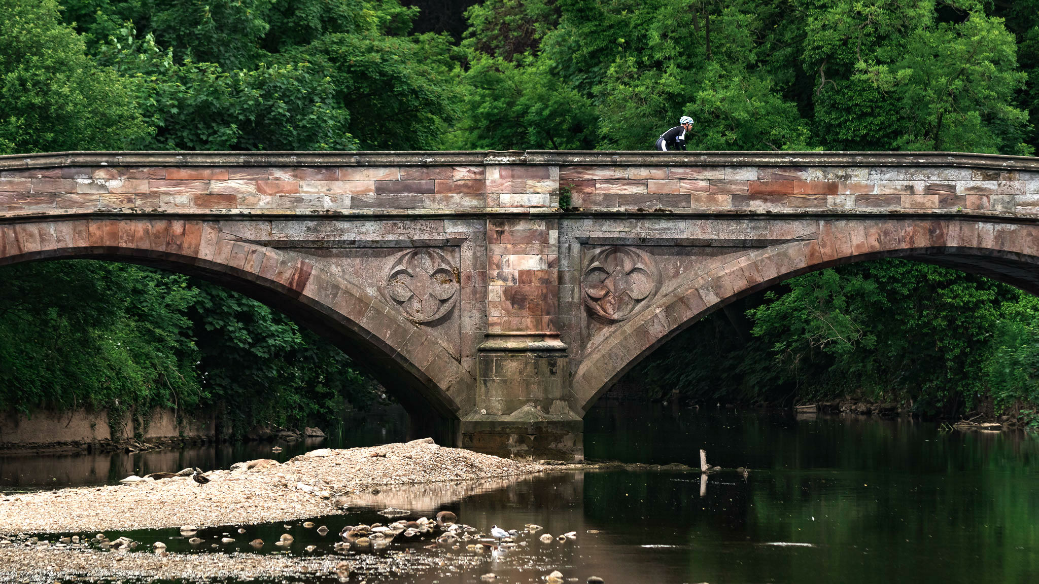
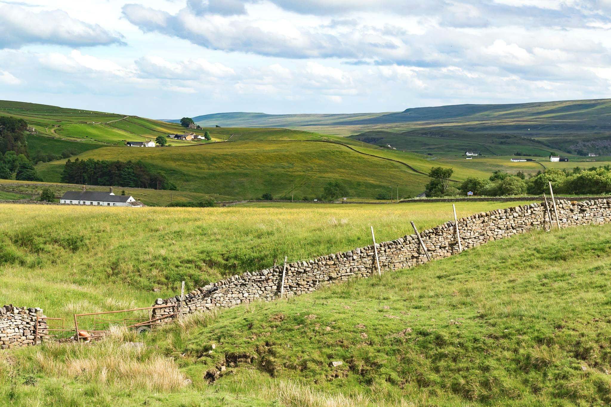
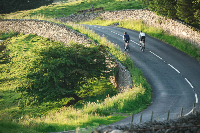
With the towering mountain passes of the Lake District to the west and the Tour de France climbs of the Yorkshire Dales to the south, it’s easy to overlook the North Pennines – but this is undoubtedly one of the country’s lesser-known cycling gems.

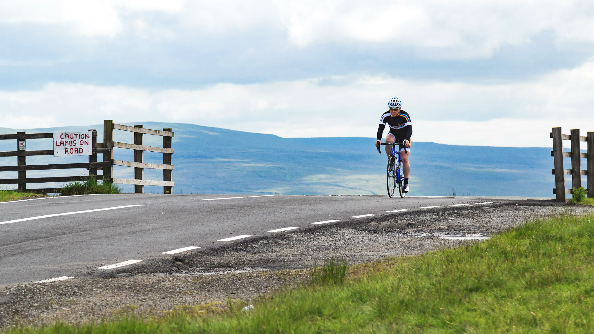
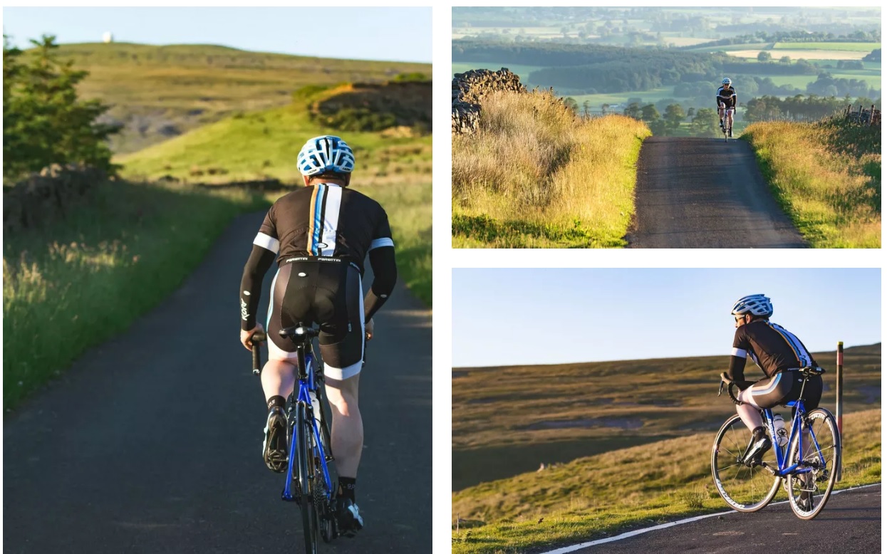
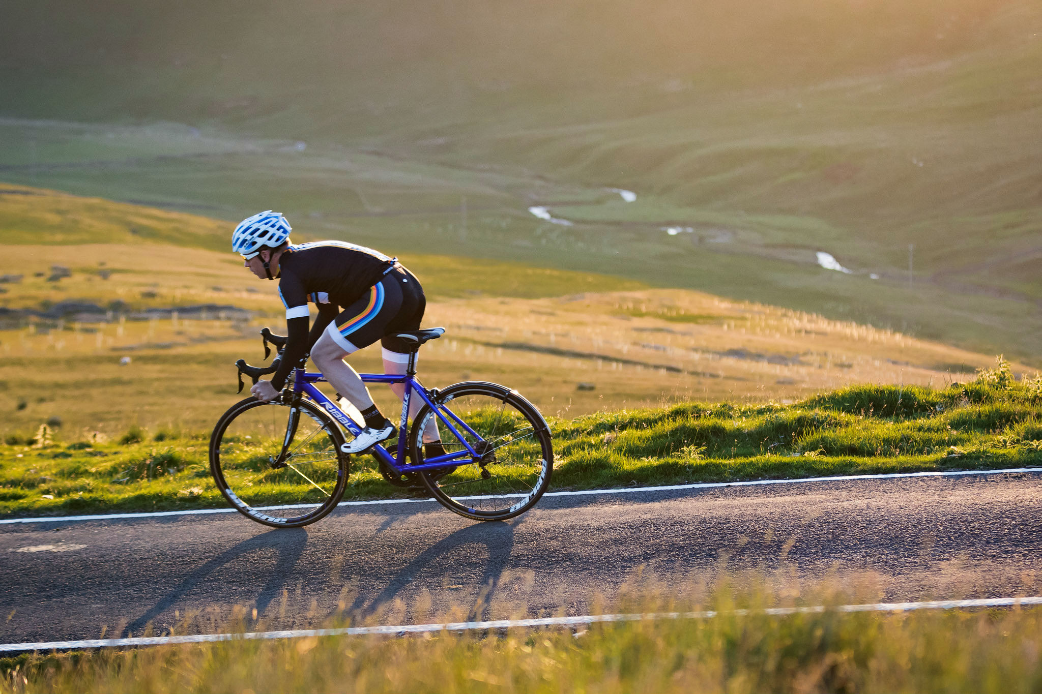
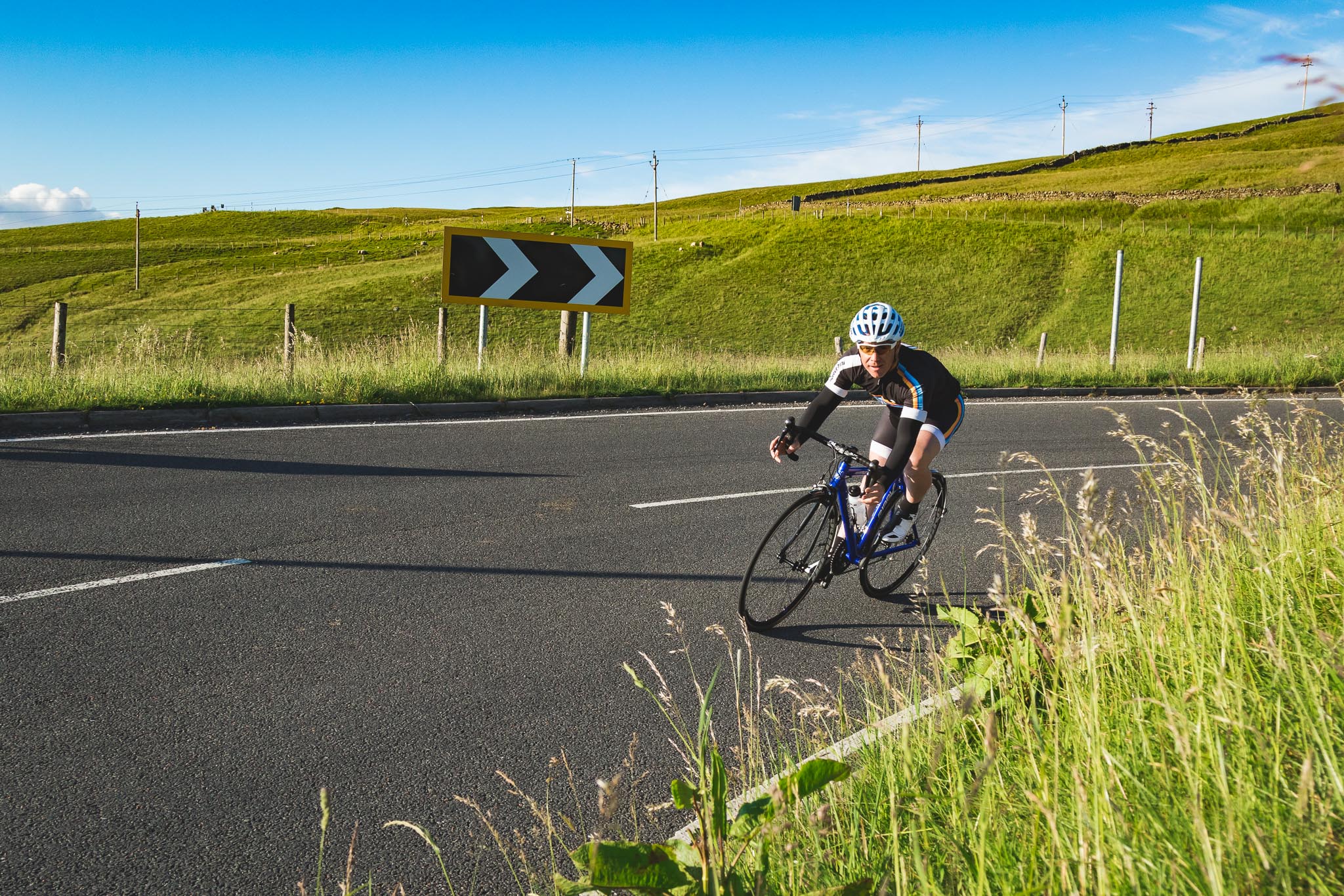
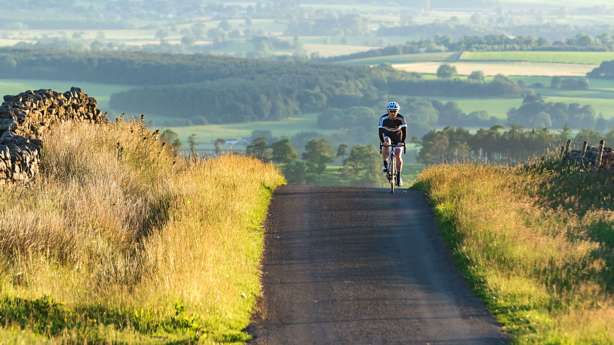
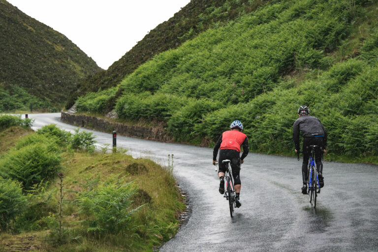
At first glance the North Pennines may not look like an obvious choice for a two-wheeled adventure, with vast areas of open moorland and limited roads,  but expect some of the longest ascents in England, towering views, deep dales, upland rivers and, in Great Dun Fell, perhaps the best climb in Britain.

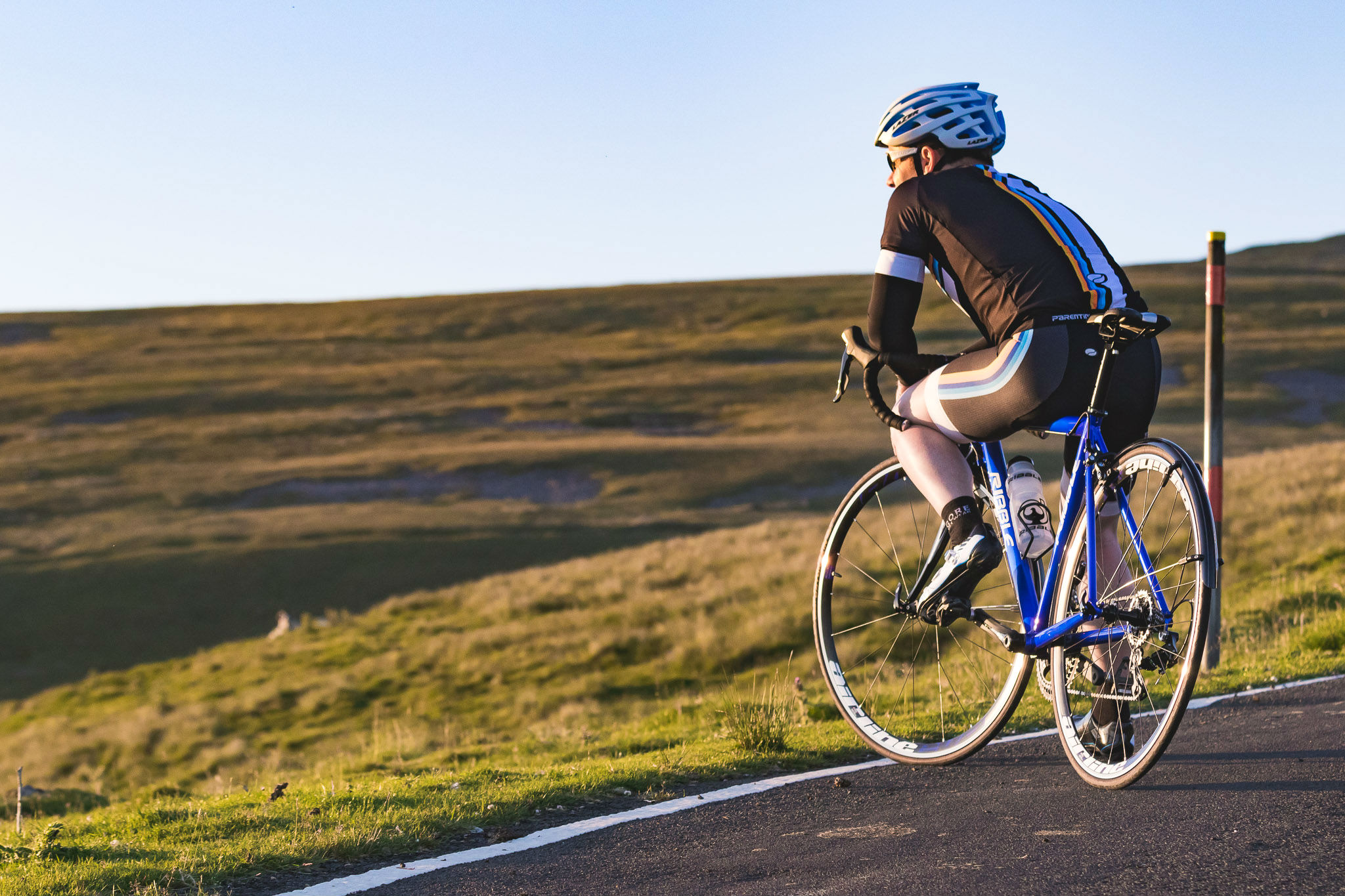
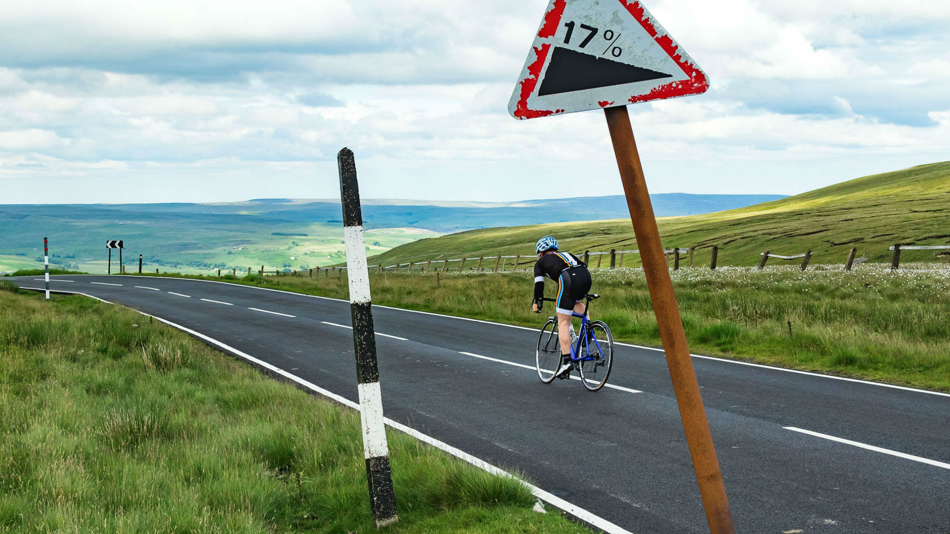
The stats behind Great Dun Fell tell the story: a 4.5-mile climb, much of it traffic-free, with an average gradient of nine per cent and a maximum pitch of 20 per cent. Topping out at 848m, Great Dun Fell is the highest paved road in the UK – but the Pennines offers so much more than one climb.

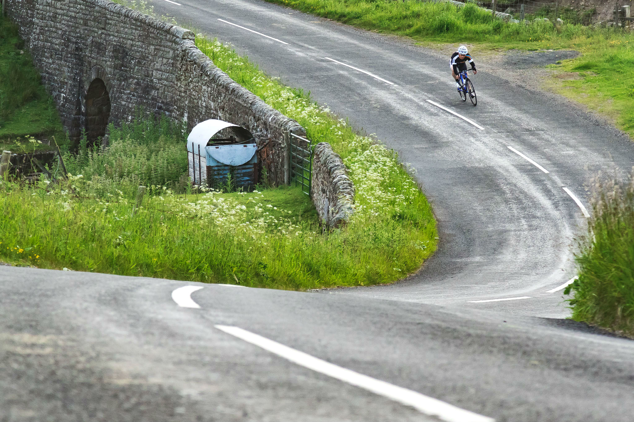
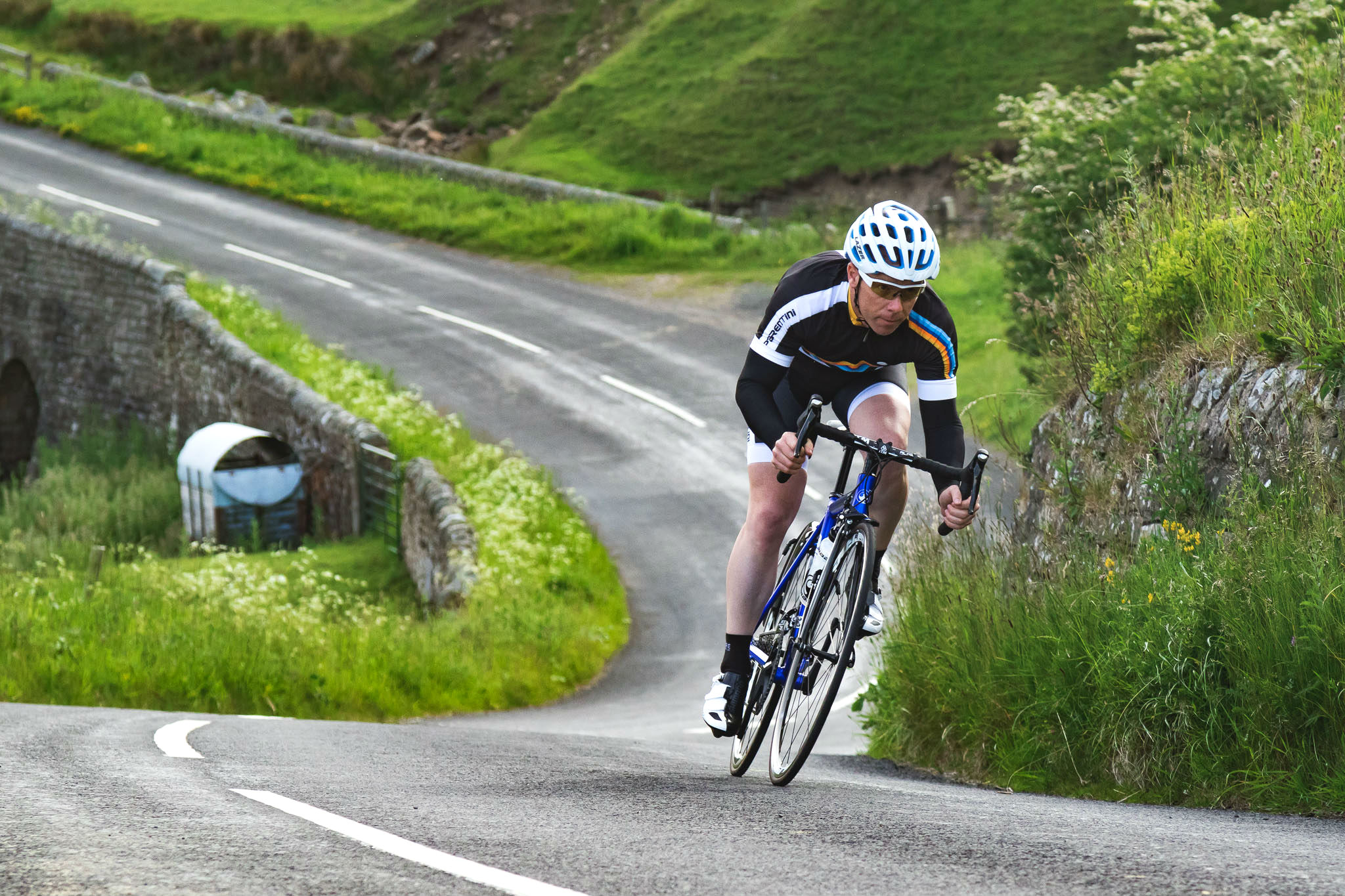
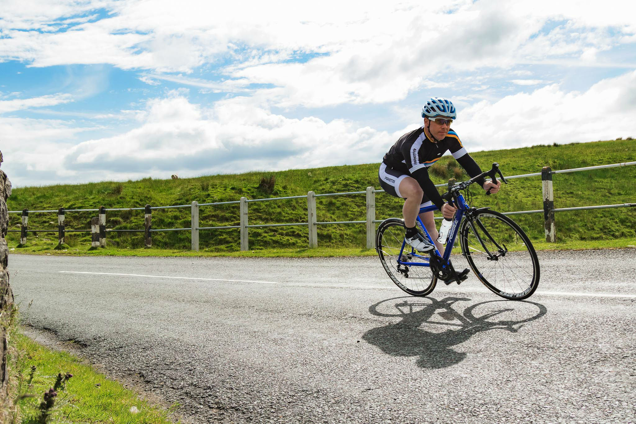
Our ride starts in the village of Appleby-in-Westmorland and follows an 88-mile route with 8,300 feet of ascent, packing in the major Pennines ascents of Harthope Moss, Killhope Cross, Hartside Fell and, of course, Great Dun Fell (you can see the full route and download a GPS file here). We’re riding the route anti-clockwise, but it can equally be ridden clockwise for a different flavour.

Appleby, as it’s known to locals, is an ideal start point and an opportunity for a final coffee in the village, with its sandstone houses typical of the area. The River Eden meanders through the centre of Appleby – fitting as we clip in for a truly beautiful ride.

The gentle rise of Appleby’s main street sets the tone for the first 20 miles on the road bordered by lush, green farmland and with gentle rolling hills in the distance – that’s where we’re heading. As we cross the A66 dual-carriageway, traffic thunders by beneath, but the road we’re on is idyllic. This is a military training area so the traffic you do see is most likely to be fully-laden vehicles heading out to the ranges. If you think you’re in for a long stint in the hills, they’re probably going out for days.

The road heads uphill from the village of Brough and continues to rise for just over four miles, but this is a relatively gentle introduction to what is to come, with an average gradient of four per cent and only occasional pitches closer to ten per cent to provide an early test for the legs.

Best of British: North Pennines, pic - Factory Media/Scott Connor

The top of the climb opens out into the type of vast moorland we will become well accustomed to over the course of the ride. This is a super-fun road to ride, twisting and turning, with a series of short, sharp rises and fast descents following one another. It’s easy to carry speed through all of them, accelerating over the top of each punchy rise before settling back into an aerodynamic tuck as the road gradually falls. It’s like this all the way past the Selset and Grassholme reservoirs and into the village of Middleton-in-Teesdale, where there’s the opportunity to top up water bottles before heading back uphill.

The road out of Middleton-in-Teesdale is another gradual ascent through farmland, alongside the River Tees and past the roaring High Force Waterfall until the right turn on to the moorland at Langdon Beck. In truth, the terrain up until now has only served as an heure d’oeuvres for the climbing to come, as we’re about to take things up a notch. The spectacular moorland opens up before us and the wide road is the only man-made structure in view.

This feels like England at its wildest and on a clear day the moors seemingly roll on for as far as the eye can see

This is the climb of Harthope Moss, which at 627m is the equal highest paved road pass in England, level with Killhope Cross, approximately ten miles to the north and another ascent on our route. Harthope Moss rises for 2.3 miles at an average gradient of five per cent, but it’s a climb of two halves.

On leaving Langdon Beck, the road rises gently at first before steepening, but a shallow descent offers the opportunity to spin the legs before the tarmac turns skyward once again and hits a consistent ten per cent all the way to the top. If the wind is against you then this climb can drag on and on. If it’s really blowing there is no shelter here, not even walls lining the roadside – only snow poles which give an indication of the weather which can fall on this part of the world. This feels like England at its wildest and on a clear day the moors seemingly roll on for as far as the eye can see.

Thankfully the road is as wide on the descent, which comes with a handful of dips with lightning-fast bends to fly through on the way to the village of St. John’s Chapel – just be wary of the wind across the moors. It’s here that the Killhope Cross starts. The road climbs for seven miles in all but don’t be fooled by the three per cent average gradient. The steady rise serves to dull the legs before the final mile-long stretch, which is significantly steeper and includes a long ramp close to 15 per cent. The climbs are long around here and any riders who push too hard early on are soon found out.

The Killhope mining museum is a welcome distraction on the climb, with its large water wheel, buildings, tracks and rail trucks, in situ as they would have been when the mine was active. This area is littered with mines, the scars of which can be seen on the hillsides in the area. We’ve been hugging the side of the valley up to this point but, nearing the top of Killhope Cross, this is where the road steepens as it opens out at the 627m summit.

The reward is an arrow-like descent into Nenthead on a road with a series of blind lips like a gymnastics ribbon, laid onto the moor and disappearing out of sight in a series of steps. Coming the other way up this climb, these lips are presented as a series of tantalising false summits, but on the descent it feels like you will lift off each runway in the road and, no matter what gearing you’re running, you will be spinning out. After passing through Nenthead, the wide road continues to fall, mixing wide and tight turns, but nothing to scrub off too much speed before we reach Alston.

Best of British: North Pennines, pic - Factory Media/Scott Connor

Little can match the adrenaline rush of a lightning-fast descent but after the drop from Killhope Cross it’s time to prepare for another climb and one of the best known ascents in the area – Hartside Fell. The Tour of Britain climbed Hartside the opposite way in 2015, with a summit finish won by Team Sky’s Wout Poels, but our route takes the slightly longer, but less steep, approach from the east. At five miles and with an average gradient of 3.4 per cent, it’s typical of the Pennines –  long and exposed, rising in two distinct sections split by a flatter stretch of road.

Once at the top, if the weather is good, then do yourself a favour and stop and just look around. The view ahead out over to the Lake District is simply incredible – there have been some impressive views already on this ride but but this one really is something else. On a good day you will feel like you are on the roof of England as the view stretches miles into the distance. Soak it up, this is the best of British.

Over the course of the next five miles it’s time to enjoy one of the best descents you’ll ever ride. The road tips downhill at an average gradient of five per cent, and is only seven per cent at its steepest, so there’s an opportunity to get up to top speed through the wide turns of the opening section, before we get down into the hedgerows and a series of long, sweeping bends interspersed with tighter ones to keep us on our toes. The challenge here is to get to the bottom without grinning like a maniac by the time you reach the pub in Melmerby. Chances are, you’ll also probably encounter motorcyclists with the same grin as the climb is a mecca for them.

Now, back on the lowlands between the Pennines in the east and Lake District in the west, the next ten miles are the flattest on the route – and in sharp contrast to what is to come as the ride reaches its finale. Look closely at the top of the imposing mountain on the left and you will see the large ‘golf ball’ of the radar station at the summit of Great Dun Fell.

Taking a left turn onto an even quieter road towards the village of Knock and the road starts to gently rise again. Settle in and prepare yourself for what is to come – it’s uphill for the next four-and-a-half miles now. Leaving Knock we pass through a gate which closes the road to motor traffic – it’s just you and the climb. Welcome to Great Dun Fell – a climb which is heaven and hell for cyclists in equal measure. A ribbon of silky smooth tarmac which snakes its way to the summit at a fiercely tough gradient, averaging nine per cent on what is the highest paved road in England at 835m.

Welcome to Great Dun Fell – a climb which is heaven and hell for cyclists in equal measure

The road to the top of Great Dun Fell is a service road for the radar station so, while you may occasionally come across a vehicle, chances are you’ll have the singletrack lane to yourself and the tarmac is in beautiful condition. The road winds its way around the hillside and snakes its way to the top in an almost irritating fashion as the radar station looms large, but rarely seems to move closer until you’re upon the summit.

It’s hard to find a rhythm as the road snakes skywards, not least because of the ever-changing gradient, but try and forget about the pain building in your legs and enjoy the serenity of the of this stunning climb. About half way up there’s a brief descent to offer some respite but then comes the steepest part of the climb – an unrelenting slope which, with 75 miles in the legs now, will truly test the very strongest riders pounding on the pedals before arriving at the radar station. Great Dun Fell is unsurpassed in England for its length, gradient and all-out difficulty – a true mountain road in the Pennines and reason enough alone to visit.

The climb is sometimes referred to as the UK’s Mont Ventoux and it’s easy to see why. It’s barren and dramatic in equal measure, and Ventoux’s weather station can be swapped for Great Dun Fell’s radar station. Unlike Ventoux, however, it’s an out-and-back climb, so once you’ve admired the view over to the Lakes on one side, and across almost the whole of the North Pennines on the other – the only thing to do is to turn around and enjoy the reward of the descent. Conditions can be difficult at the top, with the wind almost always blowing, so bring enough clothes to wrap up for what is a cracking descent.

Back down into the shelter of the banked lanes at the bottom and it’s only a few miles of flat roads back into Appleby to complete the ride. The compact village is in sharp contrast to the vast, remote and wild moorland which has dominated the day. This Pennines loop will take you over the two joint highest road passes in England and the highest climb. It’s not a route to be underestimated – but remember, this is one of those rides where the climbs reward you with some of the best descents you will find.

  • Featured bikes Ribble 7005 Winter Audax

In association with
In association with
Newsletter Terms & Conditions

Please enter your email so we can keep you updated with news, features and the latest offers. If you are not interested you can unsubscribe at any time. We will never sell your data and you'll only get messages from us and our partners whose products and services we think you'll enjoy.

Read our full Privacy Policy as well as Terms & Conditions.

production