Share

Cycling Routes

Yorkshire Dales

Follow in the tyre tracks of the Tour de France peloton in the Yorkshire Dales - expect thigh-numbing climbs, lush countryside, windswept hilltops, rushing rivers and historic architecture

  • Distance 87 miles
  • Total ascent 7,400 feet
  • Start/finish Kirkby Stephen
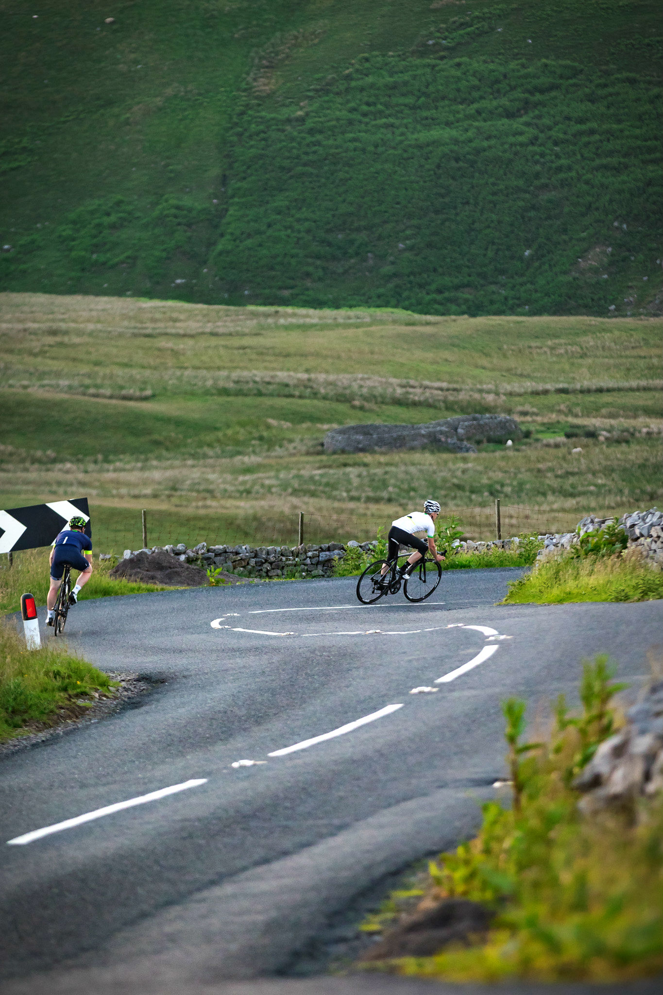
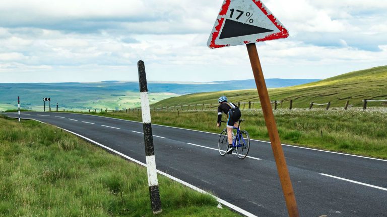
  • Highlight Fleet Moss

When it was first announced the 2014 Tour de France was to start in Yorkshire, UK cycling fans rejoiced. Locals have long waxed lyrical about ‘God’s own country’, how beautiful the county is, the quality cycling to be had on its roads and the many champions it has spawned – this was Yorkshire’s chance to shine on the world stage and it didn’t disappoint.

More than a million people turned out to watch at the roadside, royalty started the race, the Red Arrows made an appearance, the sun shone and the racing action came thick and fast from the start. For those three days in 2014, all eyes in the cycling world were on Yorkshire – but those in the know have always known what the county has had to offer for cyclists.

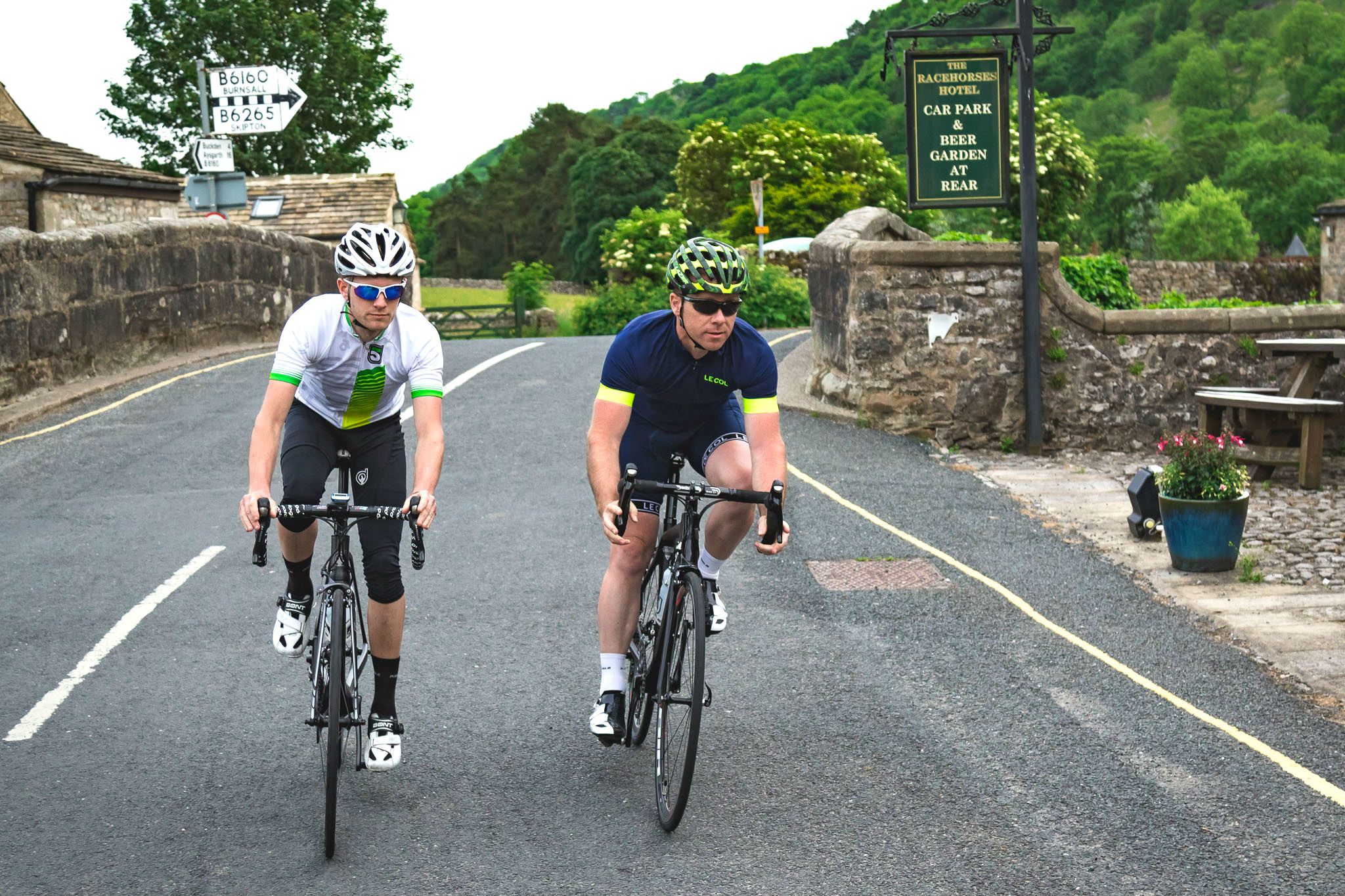
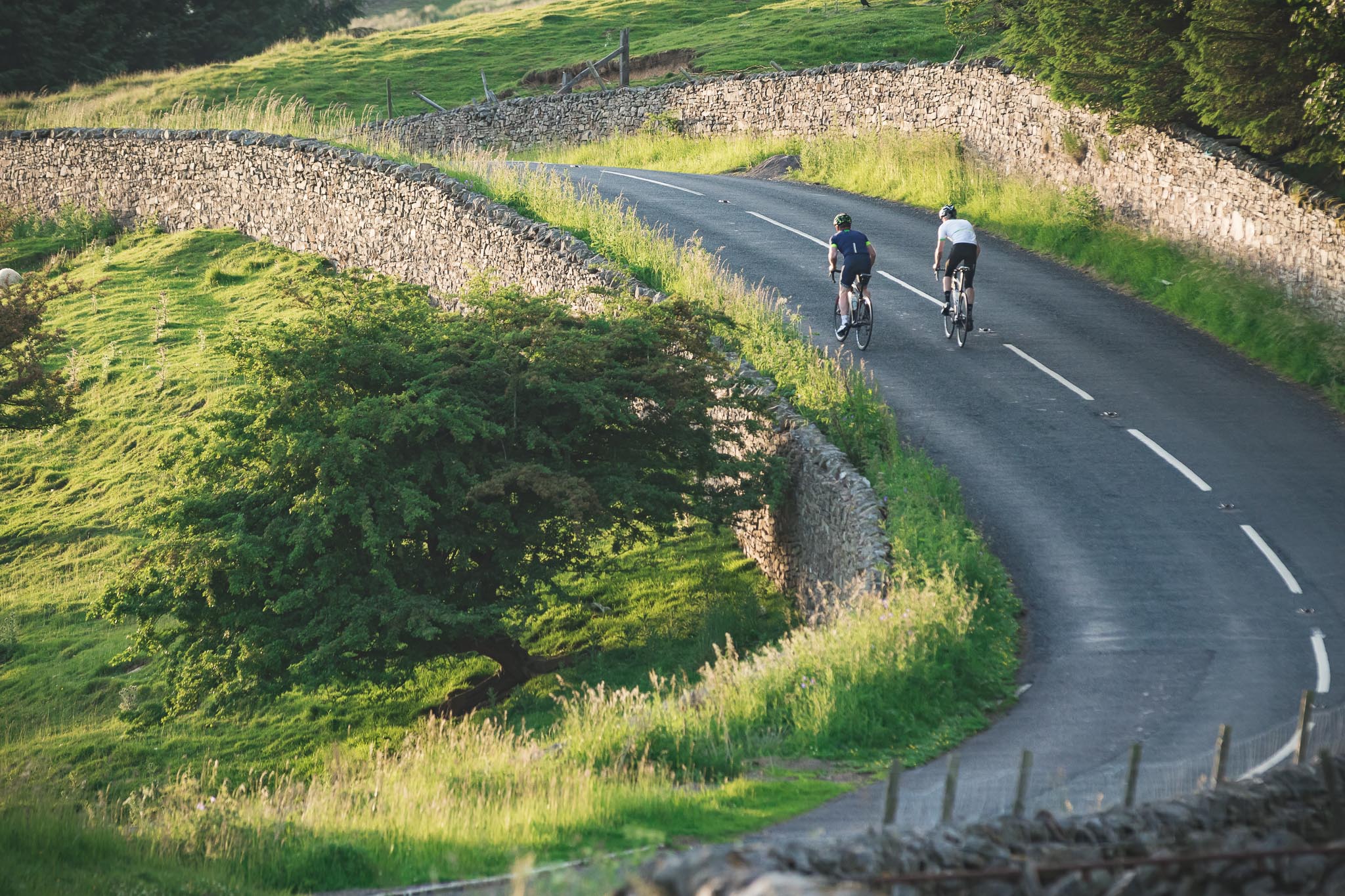
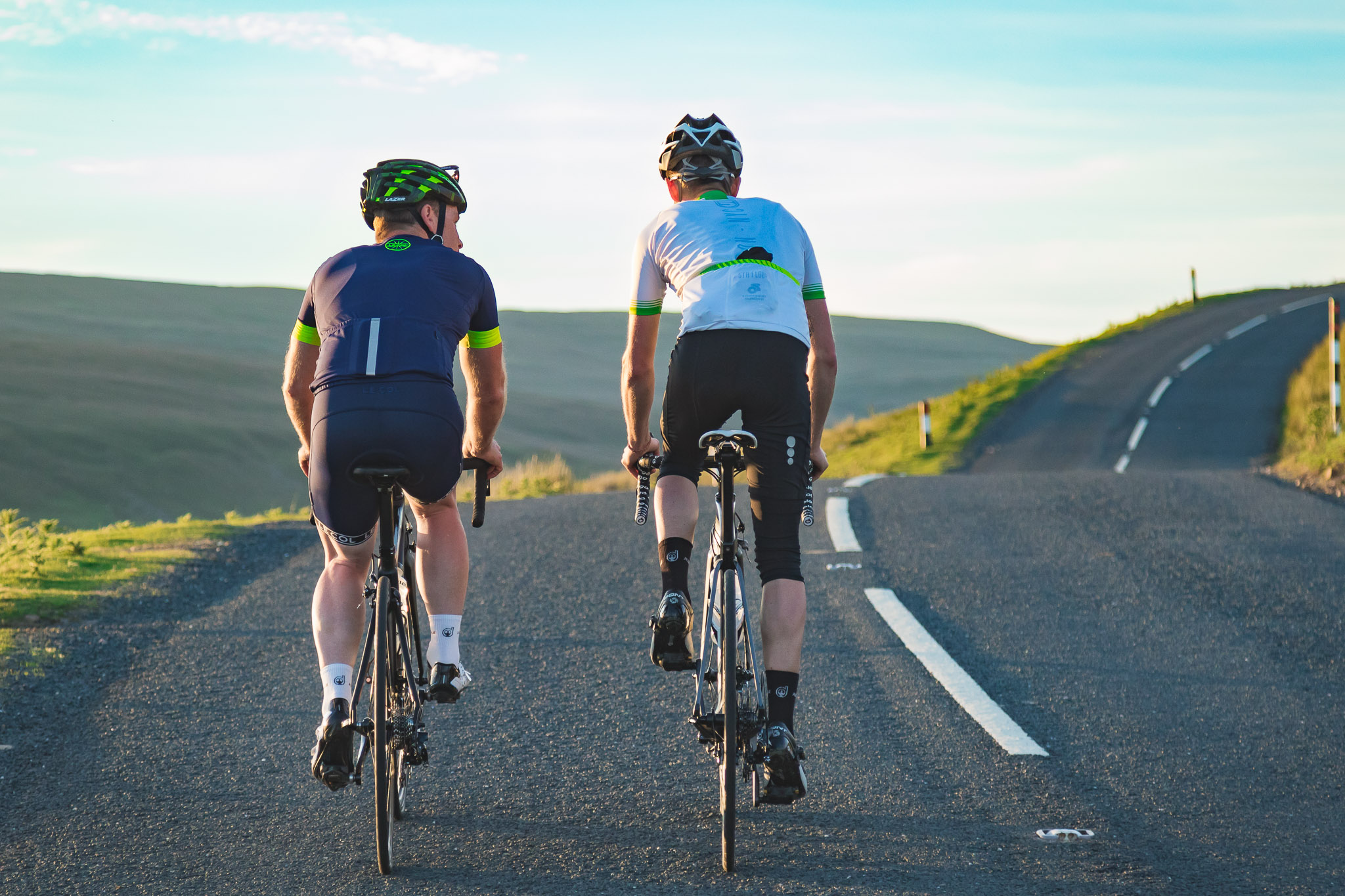
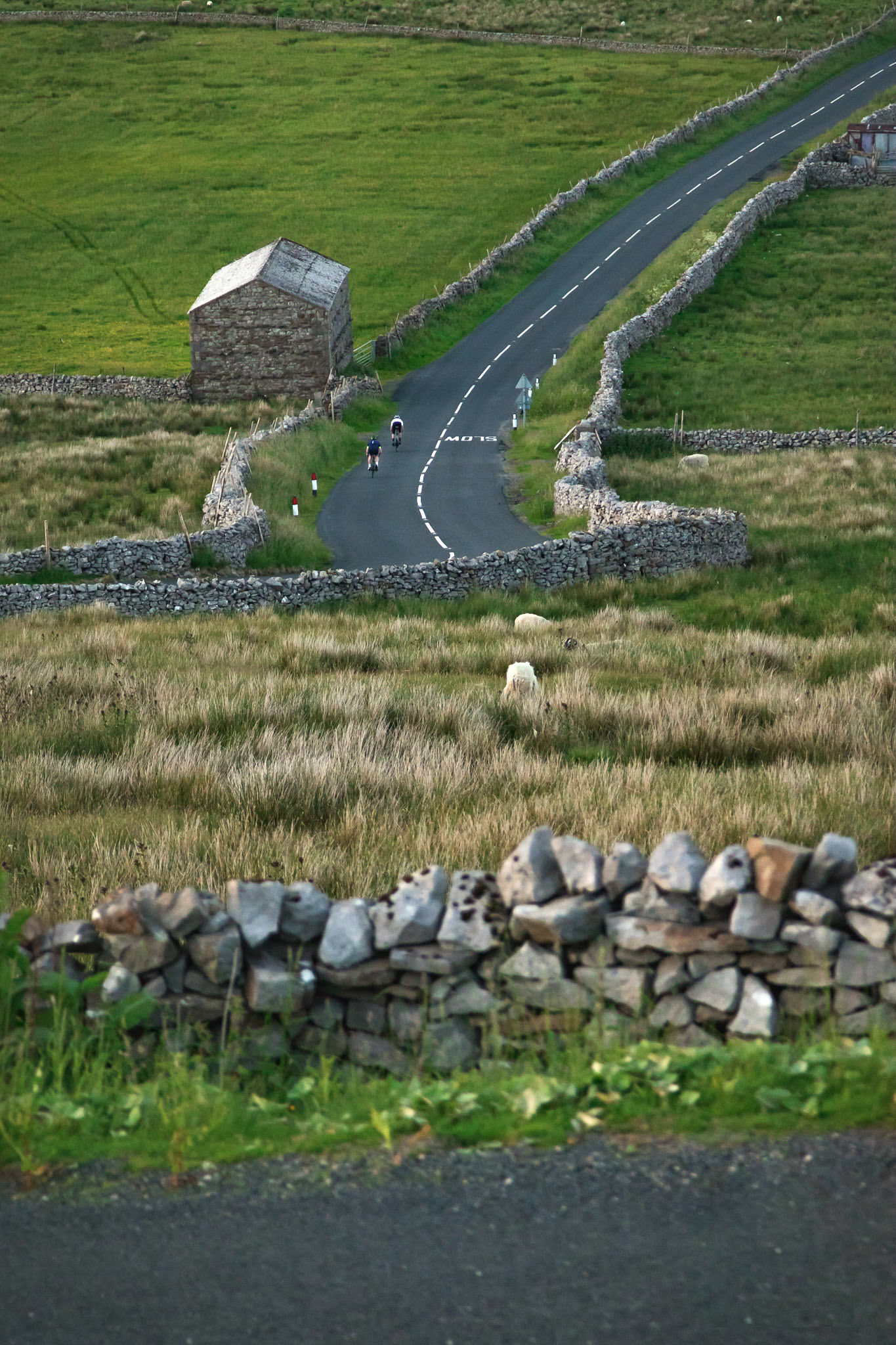
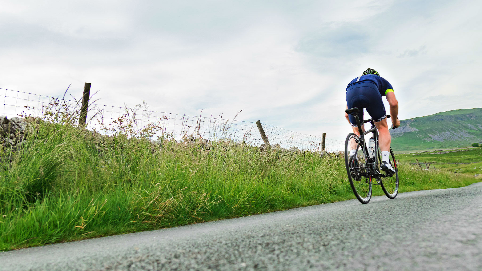
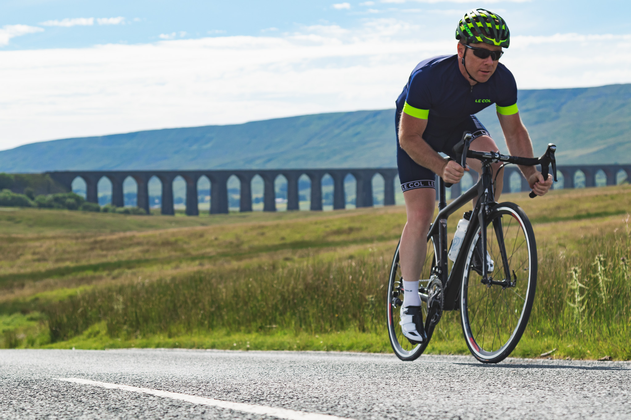
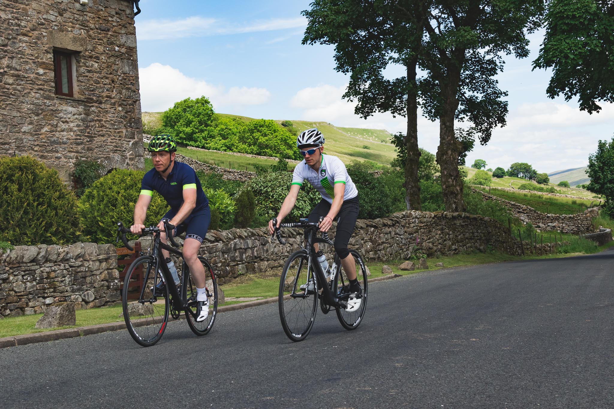
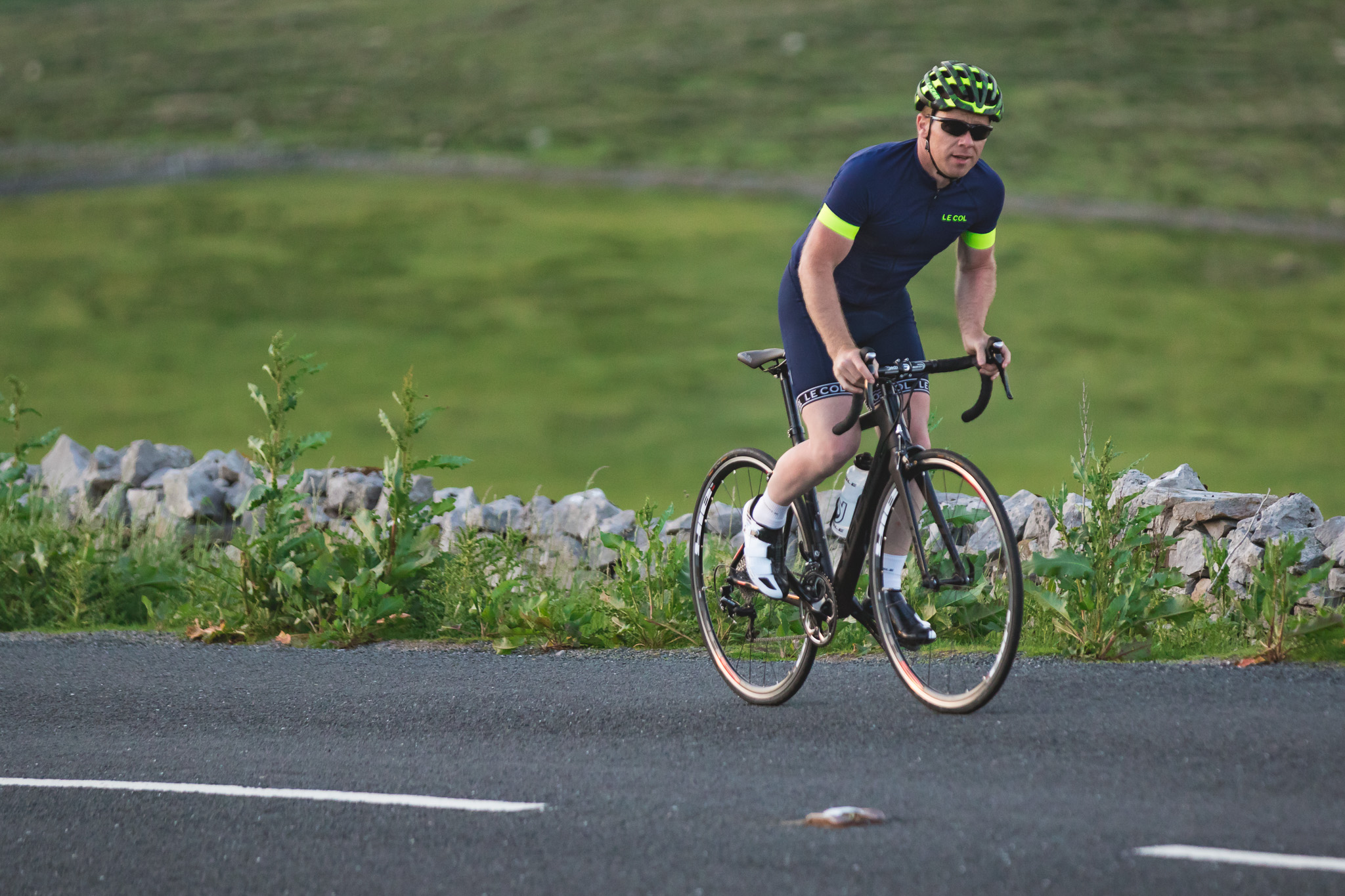
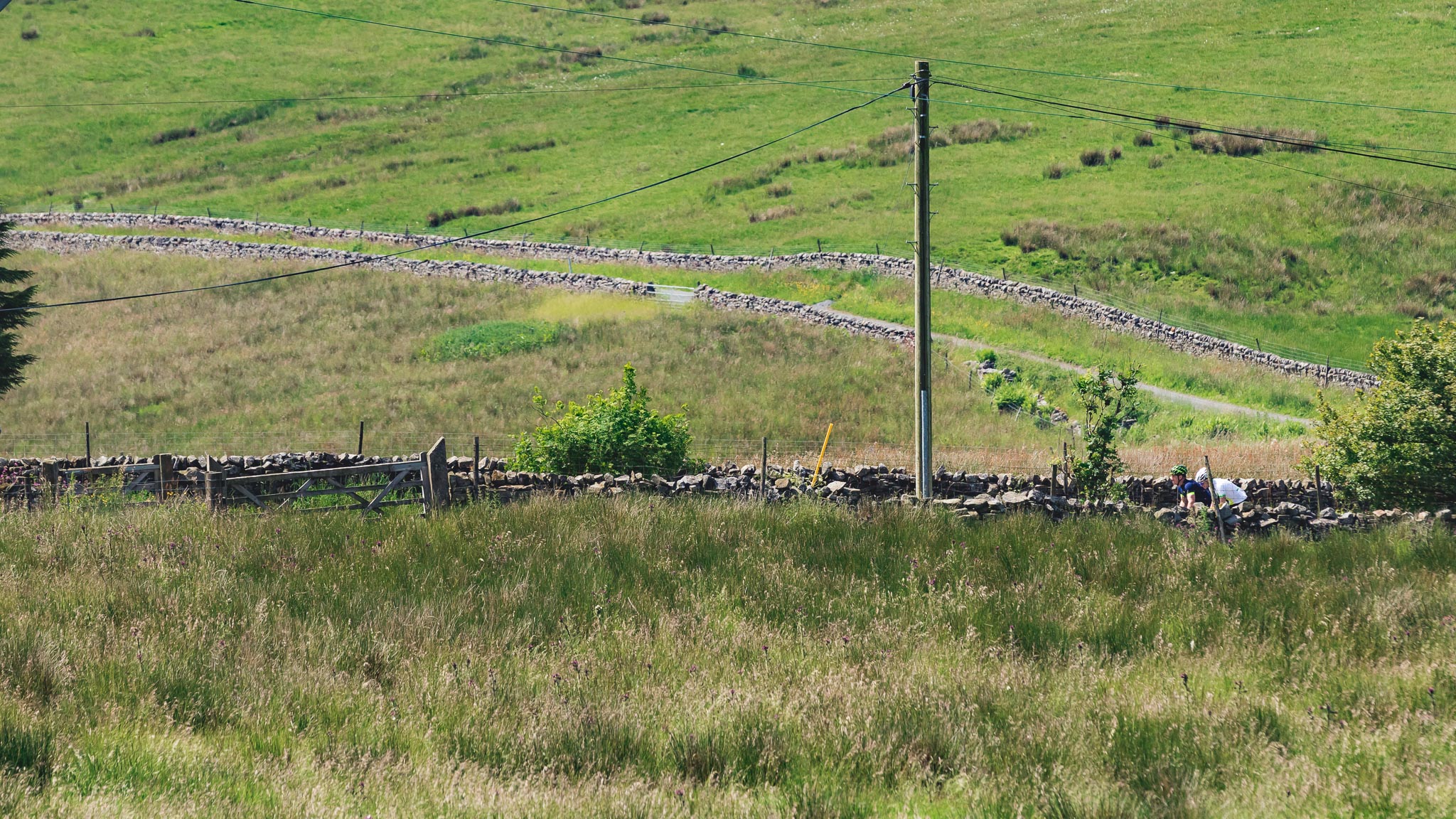
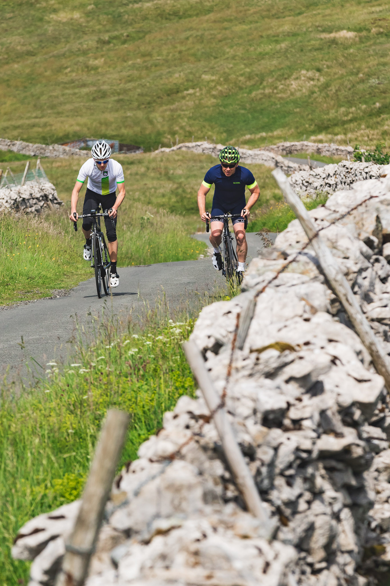
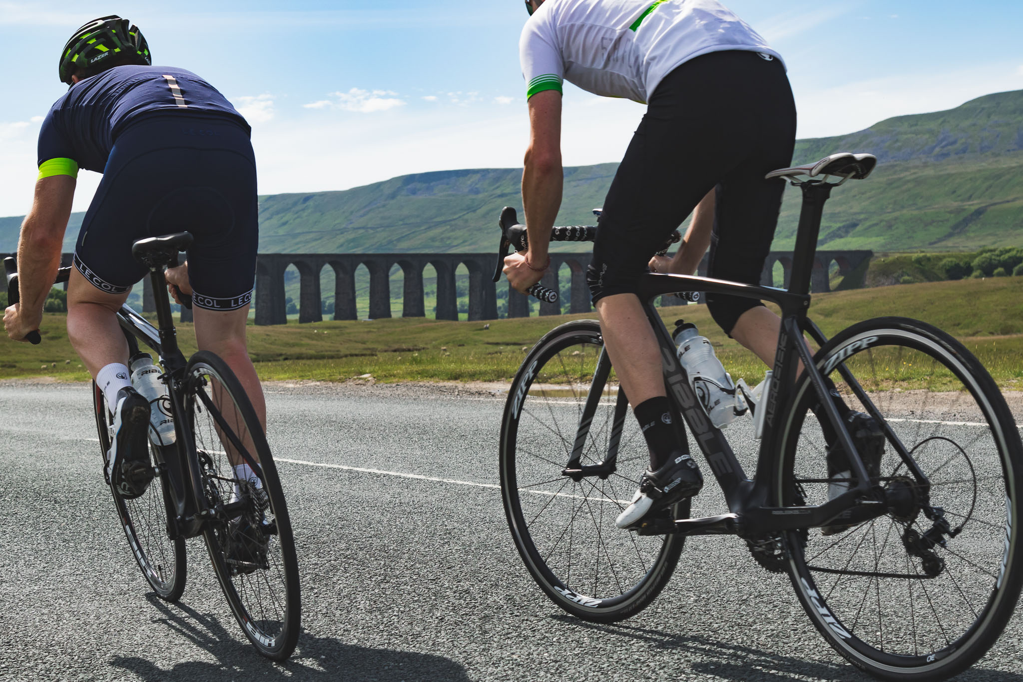
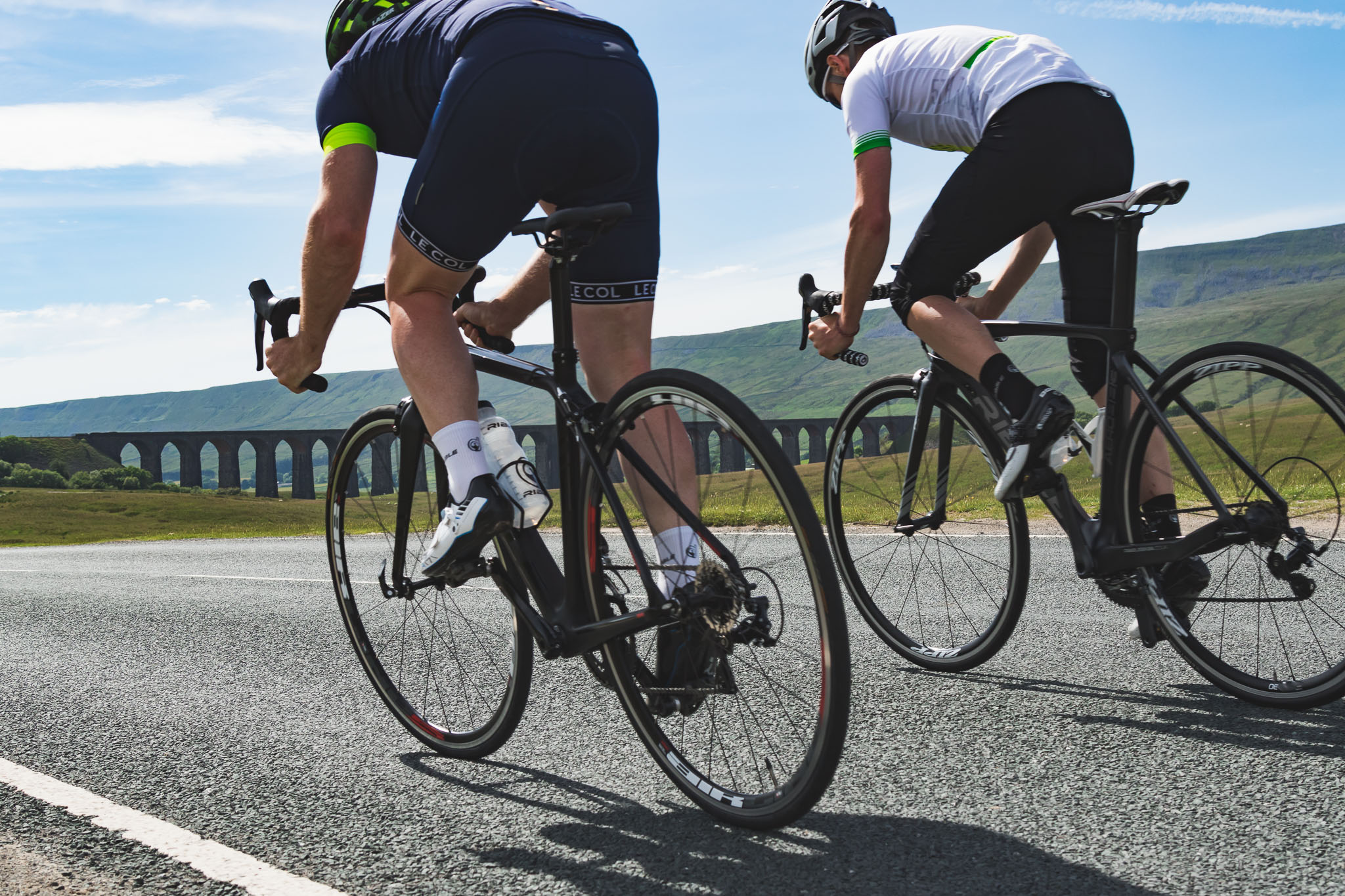
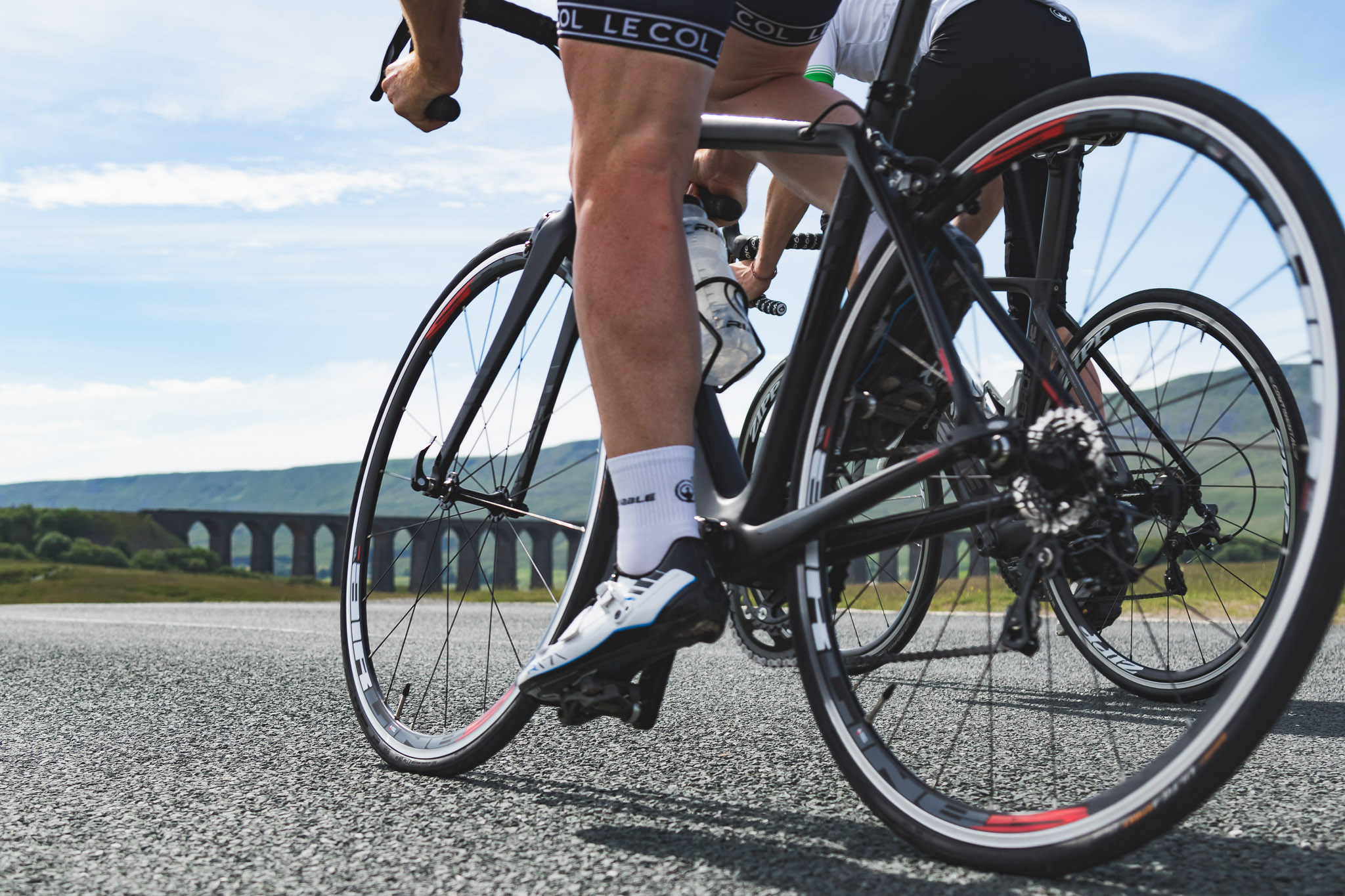
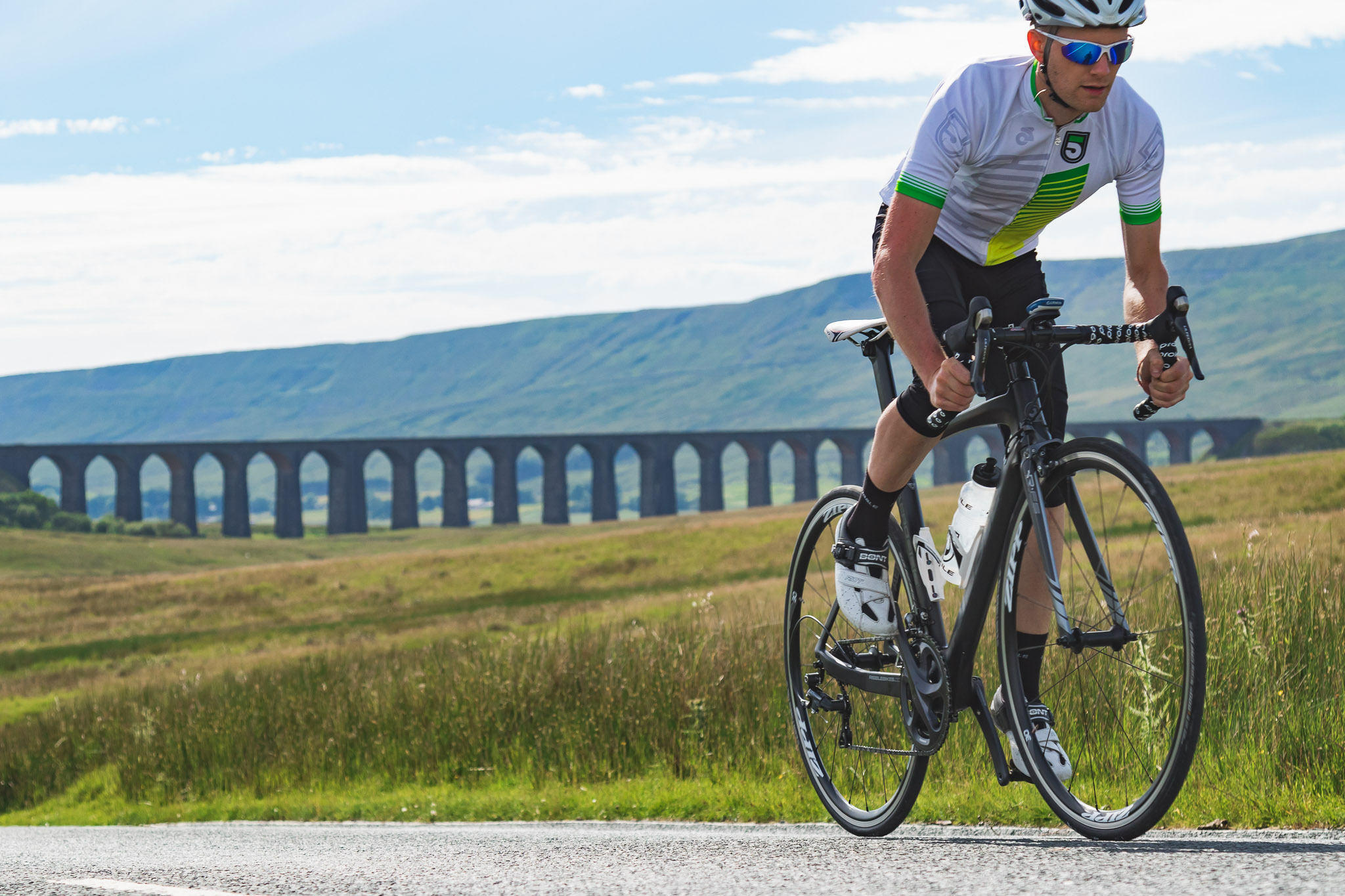
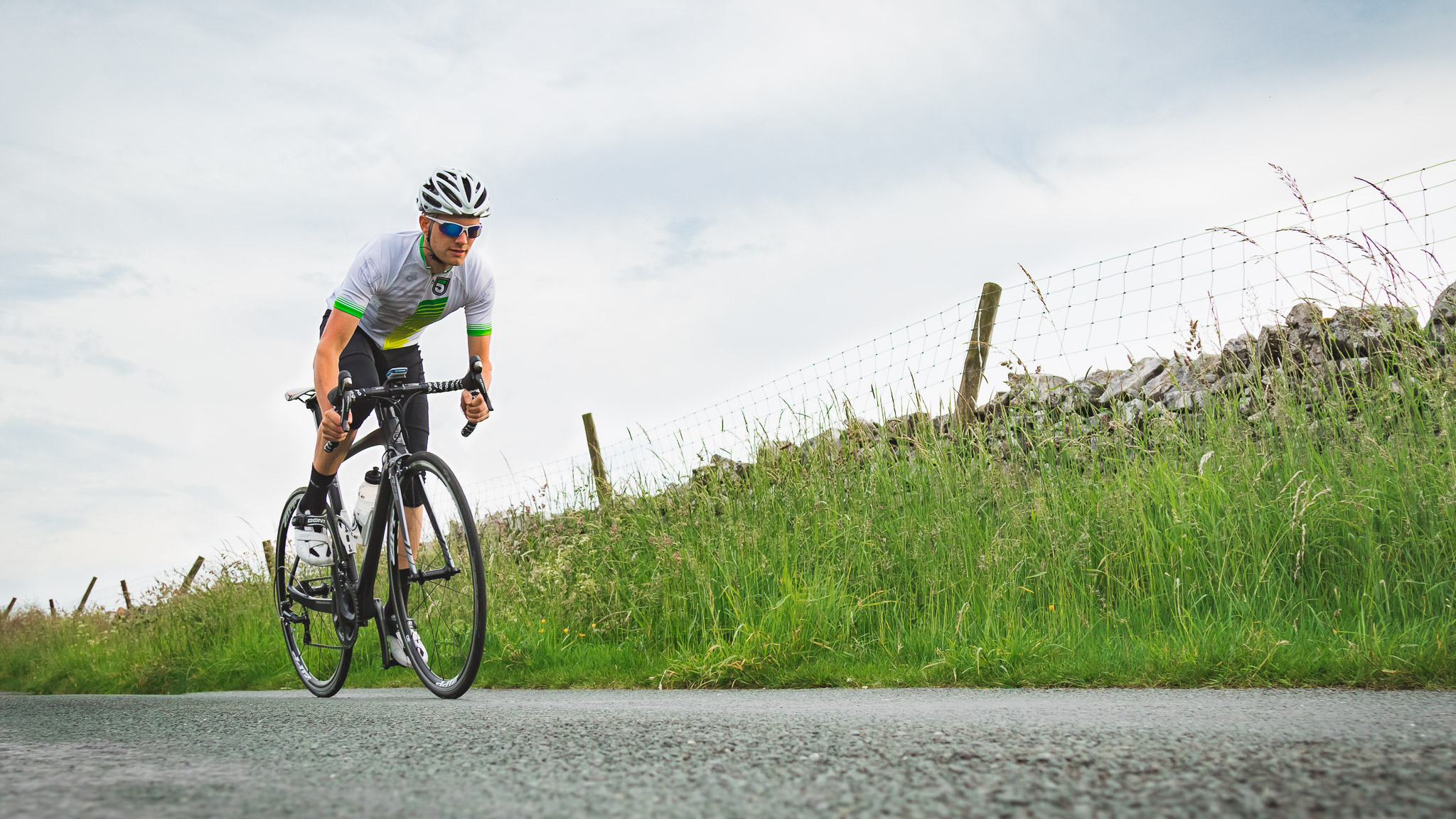
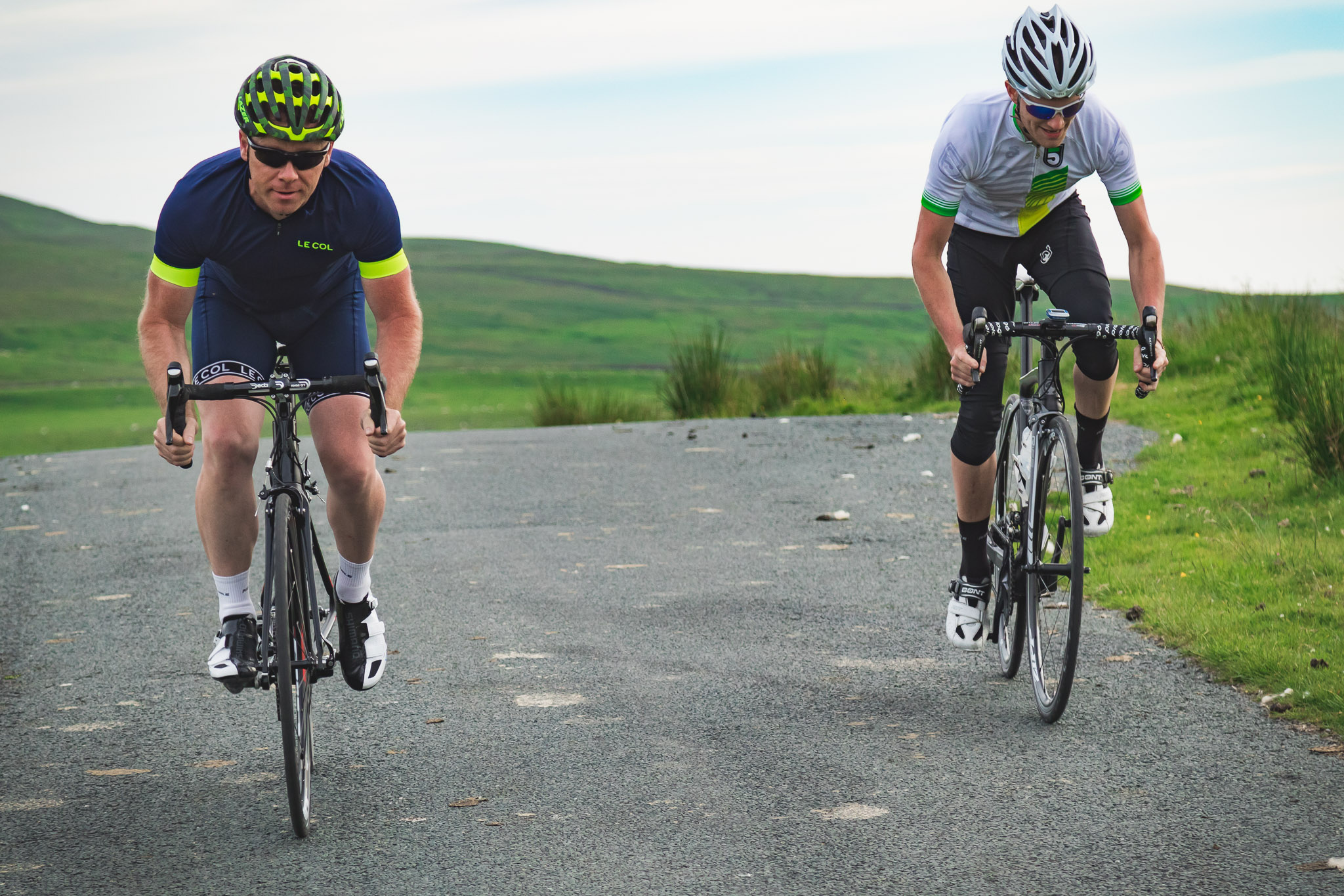
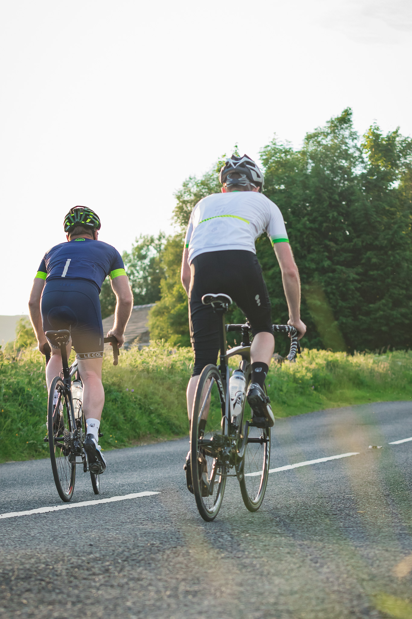
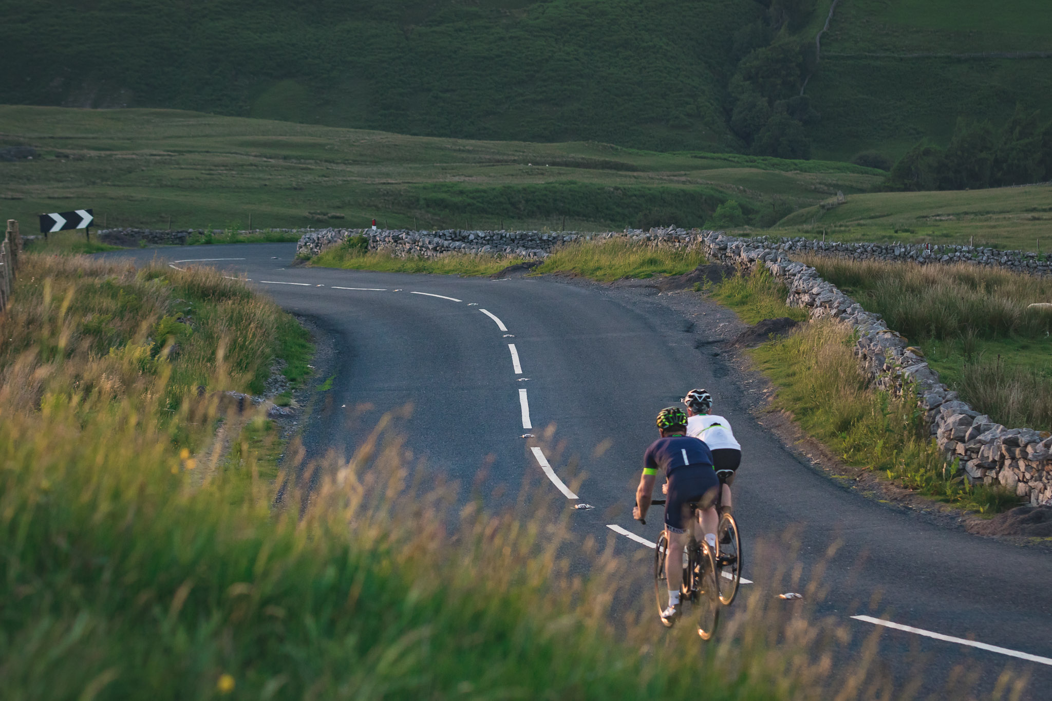
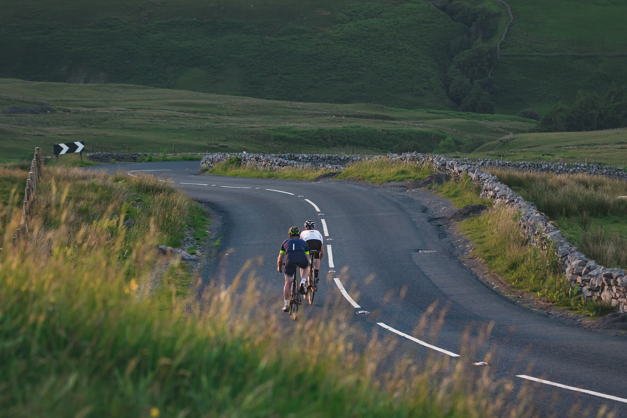
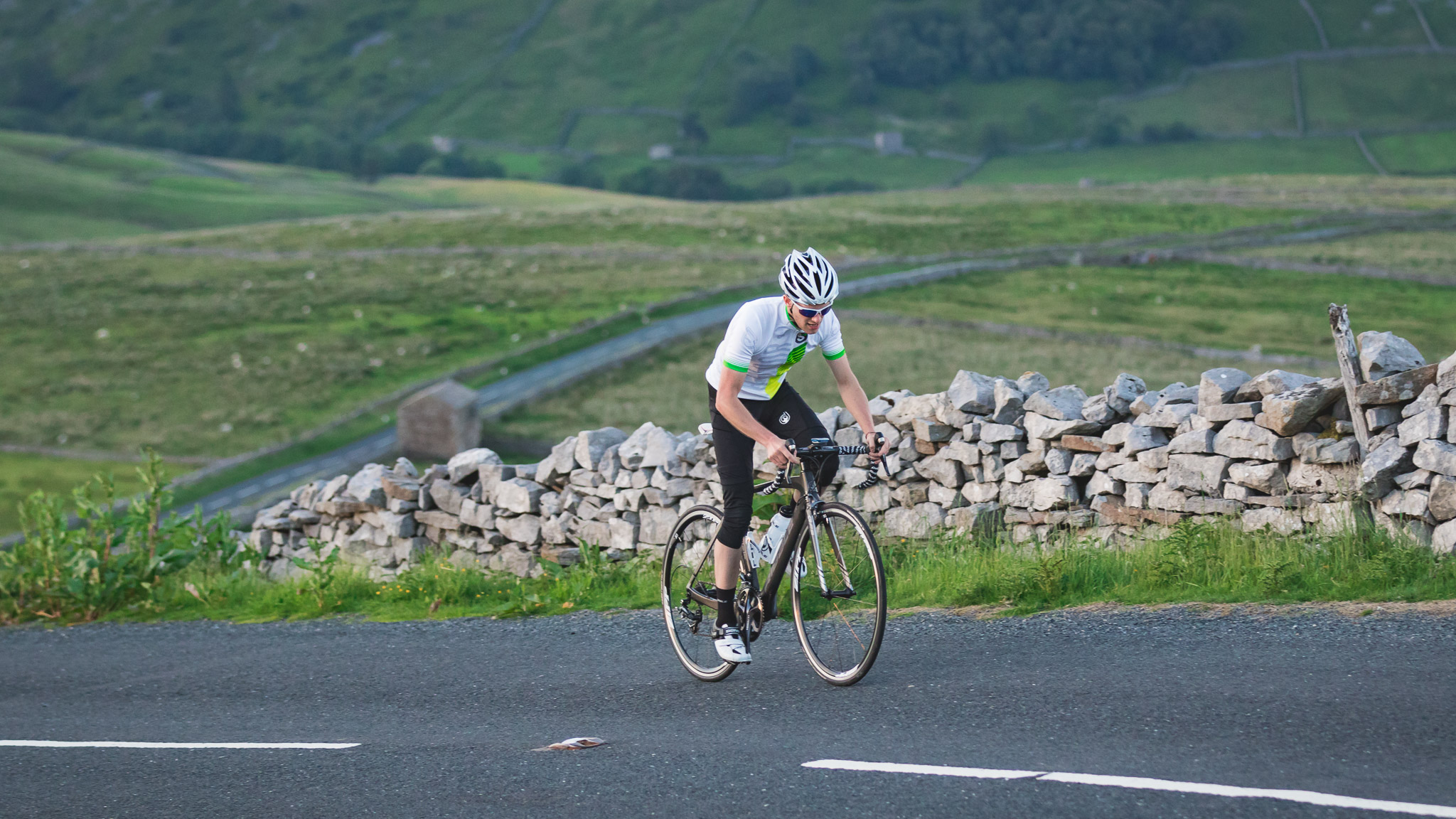
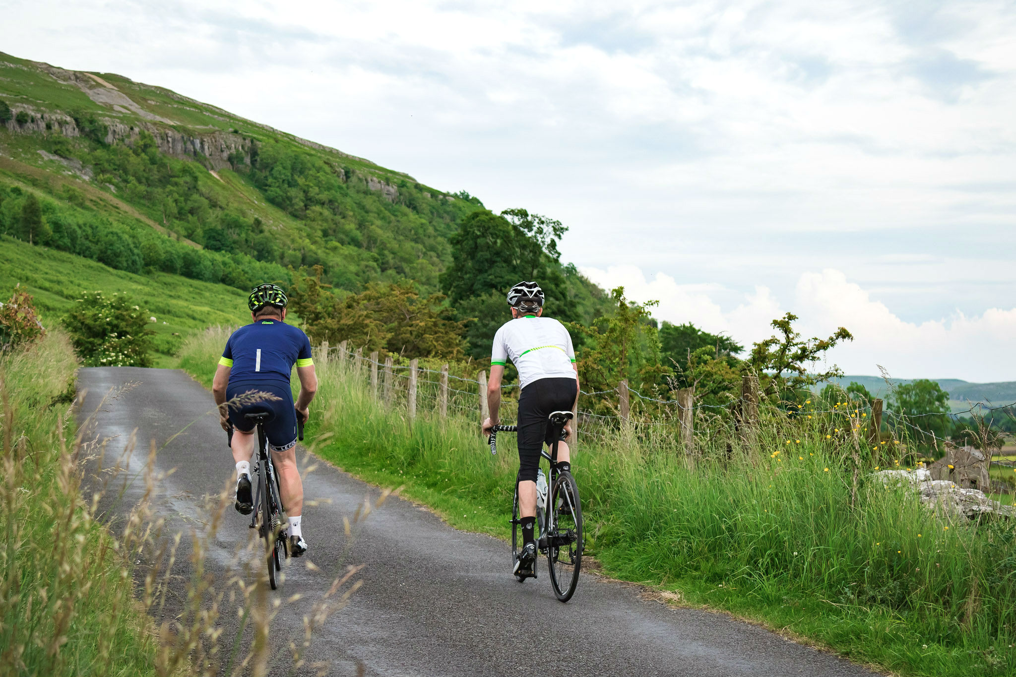
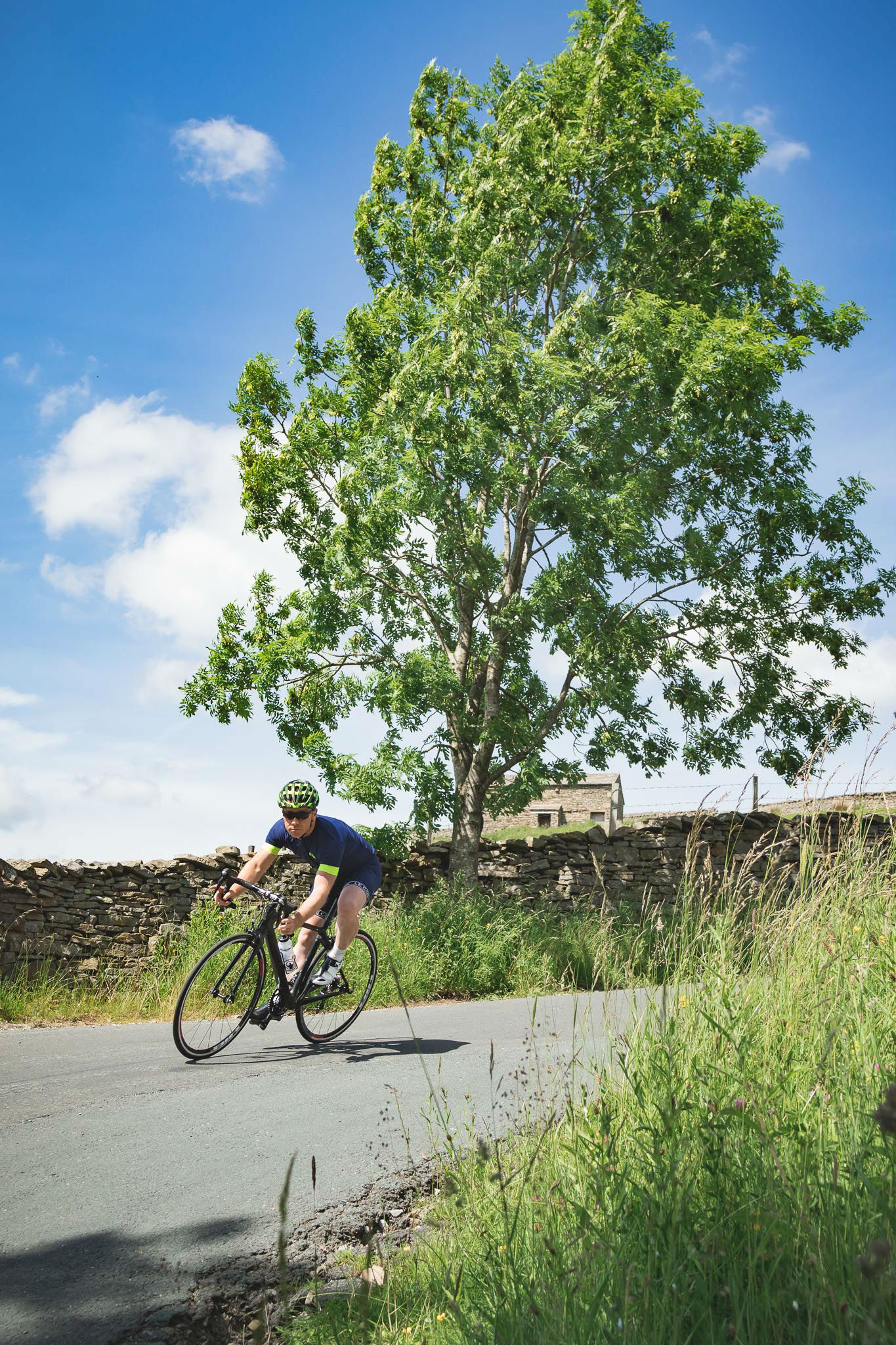
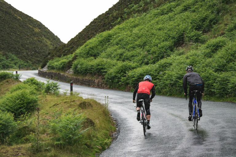
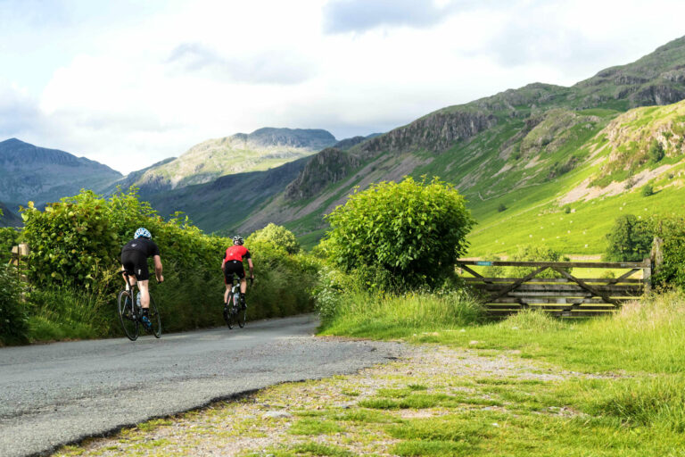
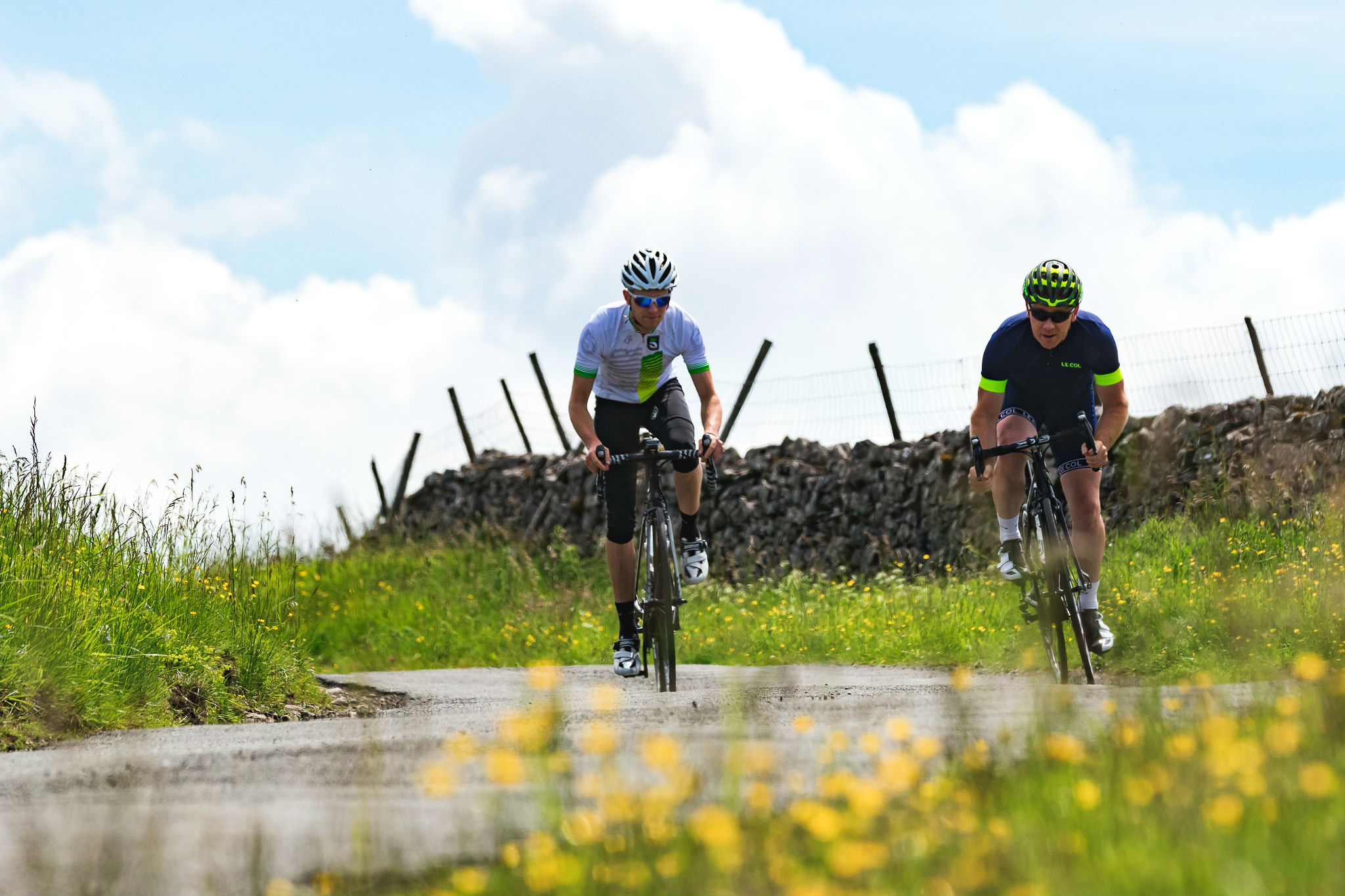
And that is? A seemingly endless network of quiet country lanes and dramatic climbs over the wild dales, with barely a flat road to ride. Not forgetting the verdant countryside, windswept hilltops, rushing rivers, historic architecture – oh, and the ‘grippy’ roads which UK cyclists have become so accustomed to, and which catch so many European pros by surprise when any race comes to visit.

Our route takes in some of the best riding the Yorkshire Dales National Park has to offer on an 87-mile loop which hones in on three of the best climbs, including the double header of Buttertubs Pass and Fleet Moss. That makes for a lumpy route, with 7,400 feet of climbing in all (you can see the full route and download a GPS file here).

We start in Kirkby Stephen, just outside of the boundary of the National Park, and head south out of town, following our loop in an anticlockwise direction. Whichever way you ride this route, you’re climbing from the gun, but this is a more gradual start and an opportunity to get the legs turning. We’re straight into green pastures with the road gently rising, passing farmsteads on the way to the first climb of the day in Garsdale. On the way we catch glimpses of the Settle-Carlisle railway and its majestic viaducts; 20 in all which straddle the many dips and curves in the landscape.

Enjoy the run-in to Garsdale as this is where the climbing really starts, with the ascent of Garsdale Head. Turning left from the valley floor the road heads straight up and averages eight per cent for the 1.7 miles; the first half is the hardest and comfortably hits 20 per cent as the road climbs away from Garsdale railway station. If you have a chance to look up, try and spot the railway tracks disappearing into the distance – this must be one of the most scenic train journeys in the UK and watching the train trundle into the distance in no great hurry is a great antidote to the lactic acid building in the legs.

After the initial shock past the station, the road continues to rise steeply before levelling off into a long drag over the top of the moors, though the odd vicious gradient will still force you out of the saddle. Having climbed to a height of 534m, and looking over the dry stone walls typical of this part of the world, you’ll have an amazing view of the rolling hills in front, but even more impressive is the Garsdale valley behind.

The narrow stonewall-lined lane opens up onto wild, exposed moorland with virtually no traffic on it as most people, including cyclists, take the road further south up over the more famous Malham Moor climb

The descent off Garsdale Head is fairly steady but approaching Cowgill there is a tight, steep switchback which will catch you out if you go round the first part too hard – and with more dry stone walls either side there’s no run-off. Once we hit Cowgill there’s more climbing, and while the two-and-a-half-mile ascent back onto the moors isn’t as tough as Garsdale Head, there are enough steep sections to disrupt the rhythm.

The reward, however, is a steady 14-mile descent (though there are a few bumps on the way) to Stainforth through hallowed cyclo-cross country. The road skirts around the bases of the Yorkshire Three Peaks – Whernside, Ingleborough and Pen-y-ghent – which cast a distinctive, imposing outline high above. The three mountains are used in the legendary Three Peaks cyclo-cross race, which has taken place annually since 1961, and is arguably the longest (61km) and toughest ‘cross event in the world.

The railway continues to jut in and out of view and the natural beauty of the Dales goes hand-in-hand with the architectural beauty of the Ribblehead Viaduct – the longest of the 20 on the line, with the 32m high arches spanning some 400m across the valley floor. It’s a popular attraction – and understandably so – but does mean this is a busier stretch of the route. The road is wide, however, and in good condition – we’re just used to being spoilt by near traffic-free lanes in the Dales.

With legs suitably recovered from the long steady descent, we head back onto narrow roads after Stainforth and the climb to Halton Gill, through the valley between Pen-y-ghent and Fountains Fell. The first mile is a consistent rise at an average of eight per cent – though the imposing outline of Pen-y-ghent helps take your mind off your quickening breath and aching legs – before a quick breather and the second two-mile section with a steadier, shallower gradient.

This is a real hidden gem of climb. The narrow stonewall-lined lane opens up onto wild, exposed moorland with virtually no traffic on it as most people, including cyclists, take the road further south up over the more famous Malham Moor climb. The immediate descent is on a twisty, bumpy singletrack road where it’s advisable to watch out for livestock, as well as the cattle grid on the edge of the moor.

Best of British: Yorkshire Dales, group ride, social ride, climb, sitting, out of saddle, riding, training, countryside, climbing, undulating, pic - Factory Media/Scott Connor

The ride continues a now familiar pattern with a nine-mile downhill stretch on wider roads through farmland to tick off the miles before quickly arriving at the village of Kilnsey, which is where we pick up a section of the Tour de France route. It’s a fast ride through the picturesque village before we’re back out into the wilds, with more impressive crags dominating the view. The road is wider than what we’ve been used to so far but, even now, it’s hard to imagine the sheer volume of Tour de France traffic which came through here in 2014. We follow the road alongside the River Wharfe as it gently rolls up and down, passing through Kettlewell and Buckden before leaving the Tour route to tackle a climb even cycling’s greatest race wouldn’t go up – Fleet Moss.

This is truly stunning cycling territory – the roads tracks the river, bubbling beside, and we’re surrounded by beautiful countryside

First we follow the road from Hubberholme to Oughtershaw on a gentle rise which serves as a six-mile warm-up – or perhaps a chance to fatigue the legs. This is truly stunning cycling territory – the roads tracks the river, bubbling beside, and we’re surrounded by beautiful countryside. As the road opens out to exposed moorland it also increases in steepness. Although Fleet Moss is only 1.7 miles long once the climb starts for good, it is consistently hard, averaging more than eight per cent and regularly hitting double figures. There’s no place to hide on this climb and if the wind is against you it’s even tougher. The descent is equally exposed, and even steeper than the climb, so stay alert on the road to Hawes, where it’s time to pick up the Tour route again.

We’re now climbing Buttertubs Pass  – or in Tour language, the Cote de Buttertubs. The image of the peloton tackling this ascent came to define the Tour’s visit to Yorkshire, with the road, peloton and fans indistinguishable from each other due to the sheer number of people on the climb. Forget Alpe d’Huez, Buttertubs Pass took centre stage in 2014.

All in all, Buttertubs Pass averages five per cent over the course of 3.7 miles, though this hides its difficulty. The road climbs from the village of Hawes but a right turn marks the start of the steep stuff and the gradient gets turned up to 20 per cent, remaining relentlessly steep for half-a-mile before it eases to around eight per cent for the final mile. As you hit the 526m summit, imagine you are Jens Voigt, leading the Tour de France breakaway over the climb – but, where Jens couldn’t, give yourself time to look left to see the 20m-deep limestone potholes which give the climb its name.

The descent off Buttertubs is superb, on a wide road which unfolds into the valley beneath, offering stunning views across Swaledale. Watch out for the tight hairpin midway down and the final steep section into Muker, where you’ll come to an abrupt halt at a stop sign.

At Thwaite we say goodbye to the Tour route for good and carry on for the final 7.5-mile push back to Kirkby Stephen. By now we’ve got 75 miles in the legs – and plenty of climbing behind us – but there’s more to come as the road back to base is uphill for much of the way, so it’s wise to save something for the run-in home. The gradient remains gradual until a short. sharp kicker to Birkdale but, like the rest of the day, the unspoilt scenery provides the perfect distraction. All that is left then is to drop like a stone on the descent back into civilisation and to Kirkby Stephen, where we can wholeheartedly recommend the bakery in the middle of the high street. You’ll have earned it.

  • Featured bikes Ribble Sportive Racing Special, Ribble Aero 883

In association with
In association with
Newsletter Terms & Conditions

Please enter your email so we can keep you updated with news, features and the latest offers. If you are not interested you can unsubscribe at any time. We will never sell your data and you'll only get messages from us and our partners whose products and services we think you'll enjoy.

Read our full Privacy Policy as well as Terms & Conditions.

production