Beginner’s guide to Komoot: the dedicated route planning app
Advanced route planning, intuitive navigation and a community-led platform... here's how to make the most of Komoot
Dressing appropriately for the weather, taking tools and spare inner tubes in case of a mechanical, rounding up a group of riding buddies… there’s a lot to plan before heading out on a ride, and we haven’t even got on to where you will ride yet.
Which is why having a dedicated app can take the hassle out of route planning. Step forward, Komoot.
As road cycling continues to grow as a sport, there is a proliferation of cycling-related apps available, be it for fitness tracking, route planning or even just a free speedometer. But thanks to its route planning software, intuitive navigation and community-led platform, Komoot should be high on your priority list to download.
Here’s how to ensure you’re making the most of it…
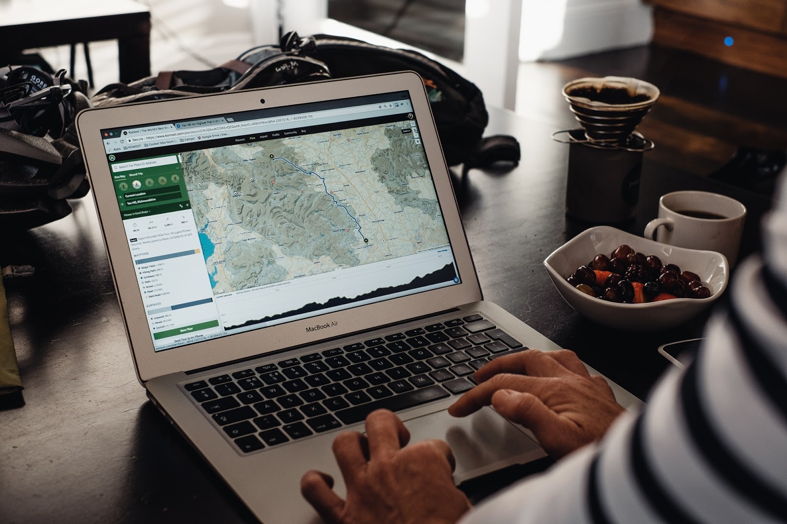
Komoot can be used on a desktop to plan routes, as well as through a free Android or iOS app. There is also an app available in the Garmin Connect IQ store to allow for easy synchronisation between devices (Pic: Chris McClean/Komoot)
Superior planning
Be it a commute, fast training ride or gravel loop (or even MTB trail, hike, mountain climb or run), Komoot offers advanced route planning – and, most importantly, it’s designed to be simple to use.
Simply select a start point and end point, set your level of fitness and choose your preferred machine (e.g. road bike, gravel etc.) and Komoot will do the rest for you.
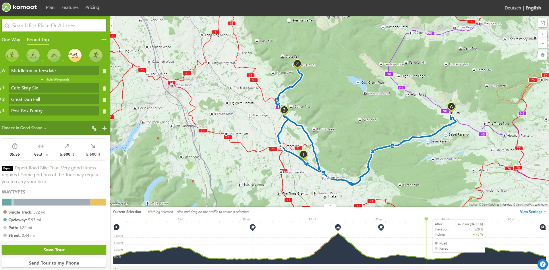
Komoot allows you to work in waypoints, select from different cycling disciplines (or hiking and running) and set your fitness level to automatically pick the best route for you (Pic: Komoot)
Waypoints
You can add additional ‘waypoints’ to your ride – if there are particular climbs you want to take in or a coffee stop you have your eye on – and Komoot will then suggest the best route to integrate those, based on the type of cycling you prefer.
You don’t need to be familiar with the area either. Komoot will display anything from restaurants, coffee stops, public toilets, mountain passes, parking and other points of interest when selected.
Surface types – don’t get caught out
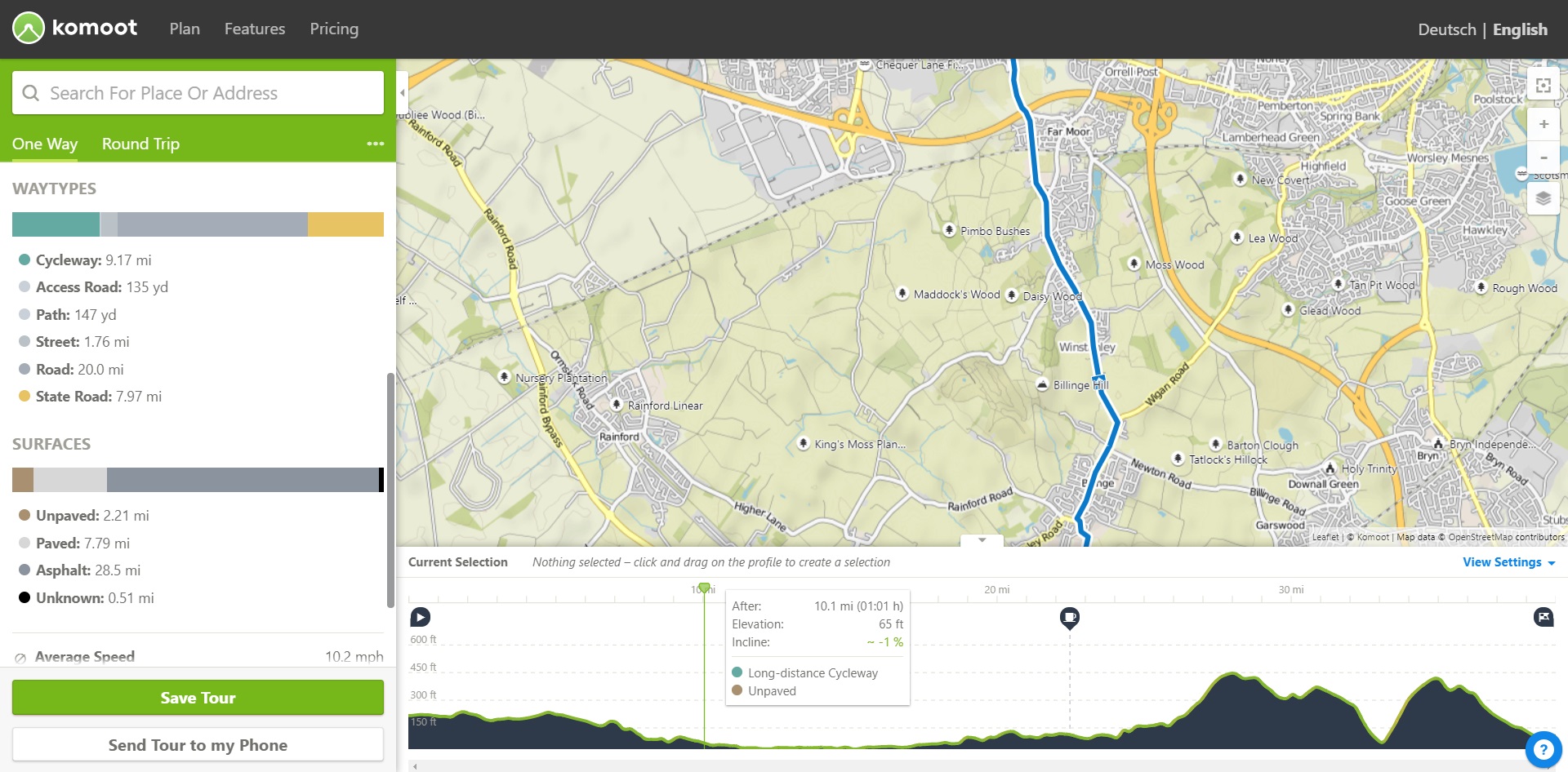
Included in the information displayed are the surface types and waytypes, to help you prepare more effectively for your ride, alongside basic information like elevation, distance and average speed.
Komoot breaks down how much of your ride will take place on roads, single tracks, cycleways etc, and whether they are paved or not, so you know the route you are planning will be suitable for your ride.
Map overlays
Different map overlays also help with route planning – you can choose to view the standard ‘Komoot Map’, an OpenCycle Map displaying national cycleways, an OpenStreet Map or beta versions of Google Roads and Google Satellite maps.
The Komoot Map is the best way to make full use of Komoot’s community-led focus, however, as it allows you to pick out highlights created by other Komoot users. In fact, users who are local experts, create great content and provide valuable
tips to the Komoot community, are recognised with the status of ‘Pioneer’.
When you select a route on Komoot, the app will display the waytypes and surfaces to help you prepare better for your ride (Pic: Komoot)
Community focus
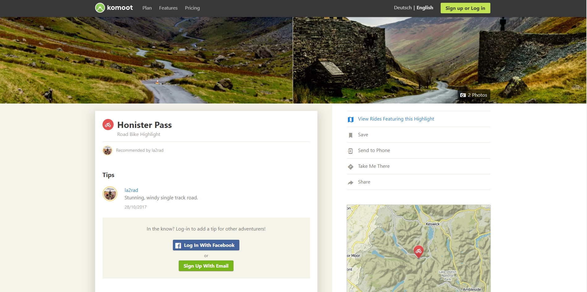
The community-led aspect of Komoot means you can tap into other users’ local knowledge too, in order to pick out the best climbs, segments, café stops and points of interest in each area.
Dedicated local experts and ambassadors are encouraged to post their own highlights, with a brief description and photos where possible, while you can use Komoot to pick out existing saved rides incorporating those highlights.
As more and more UK users sign up, the Komoot community is only expected to grow – so there will be even more to explore in greater detail.
Turn-by-turn voice navigation
Once you have your route, all that is left is to ride it – and Komoot features turn-by-turn voice navigation to keep you on the right path. It all works offline too (see below), so you don’t need to worry about signal dropping out if you want to head off the beaten track.
Komoot have also teamed up with Garmin to allow for seamless synchronisation of routes with a range of Garmin devices – download the free app from the Garmin Connect IQ store and sign in, and any changes you make on the iOS or Android app will be reflected on your bike computer. Integration with the Wahoo ELEMNT and BOLT also exists.
The community-led focus of Komoot means you can tap into local experts’ knowledge and also pick out route highlights – be it climbs like Honister Pass, cafe stops or other points of interest (Pic: Komoot)
Desktop planning, offline navigation
While Komoot is available as a free iPhone or Android app, you can plan your rides on a desktop for easier use, and then save them or send them to your phone. The free app includes one free ‘region’, which will download to your phone for turn-by-turn navigation even when you are offline.
Navigation will continue to work in other regions, but only through your phone’s 4G signal so those wishing to explore further afield may want to download further regions.
Komoot offers five regions for £19.99, or for an extra £10 you can download the whole world, metaphorically speaking.