Share

Sportive

Eroica Britannia 2017: six route highlights for riders tackling the vintage bike ride

Heading to the three-day Eroica Britannia Festival from June 16 to June 18? Here's what's in store for this year's ride

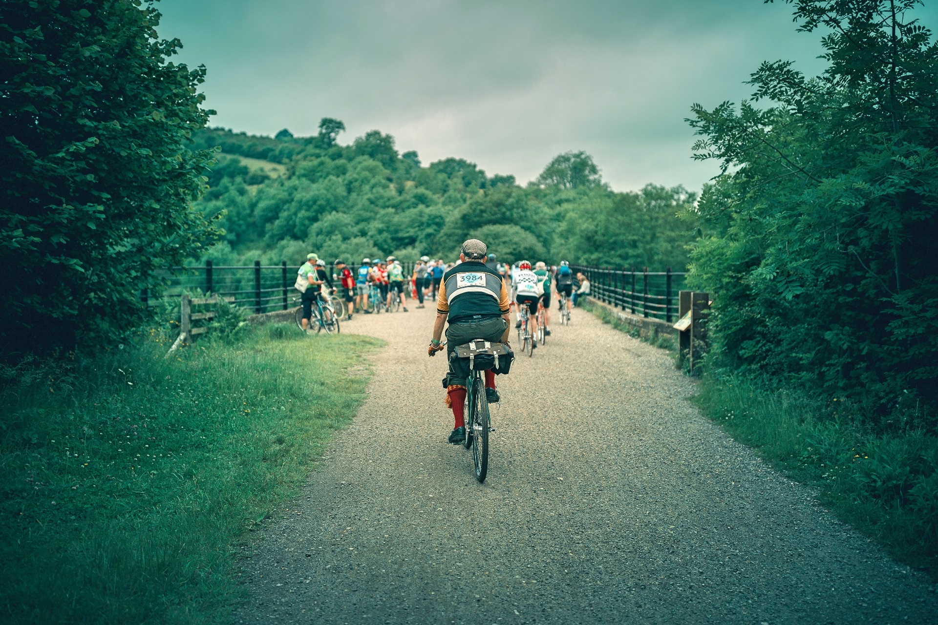
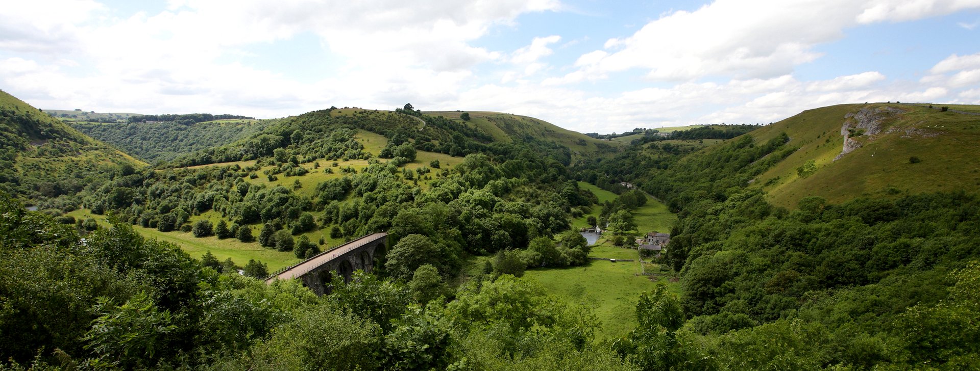
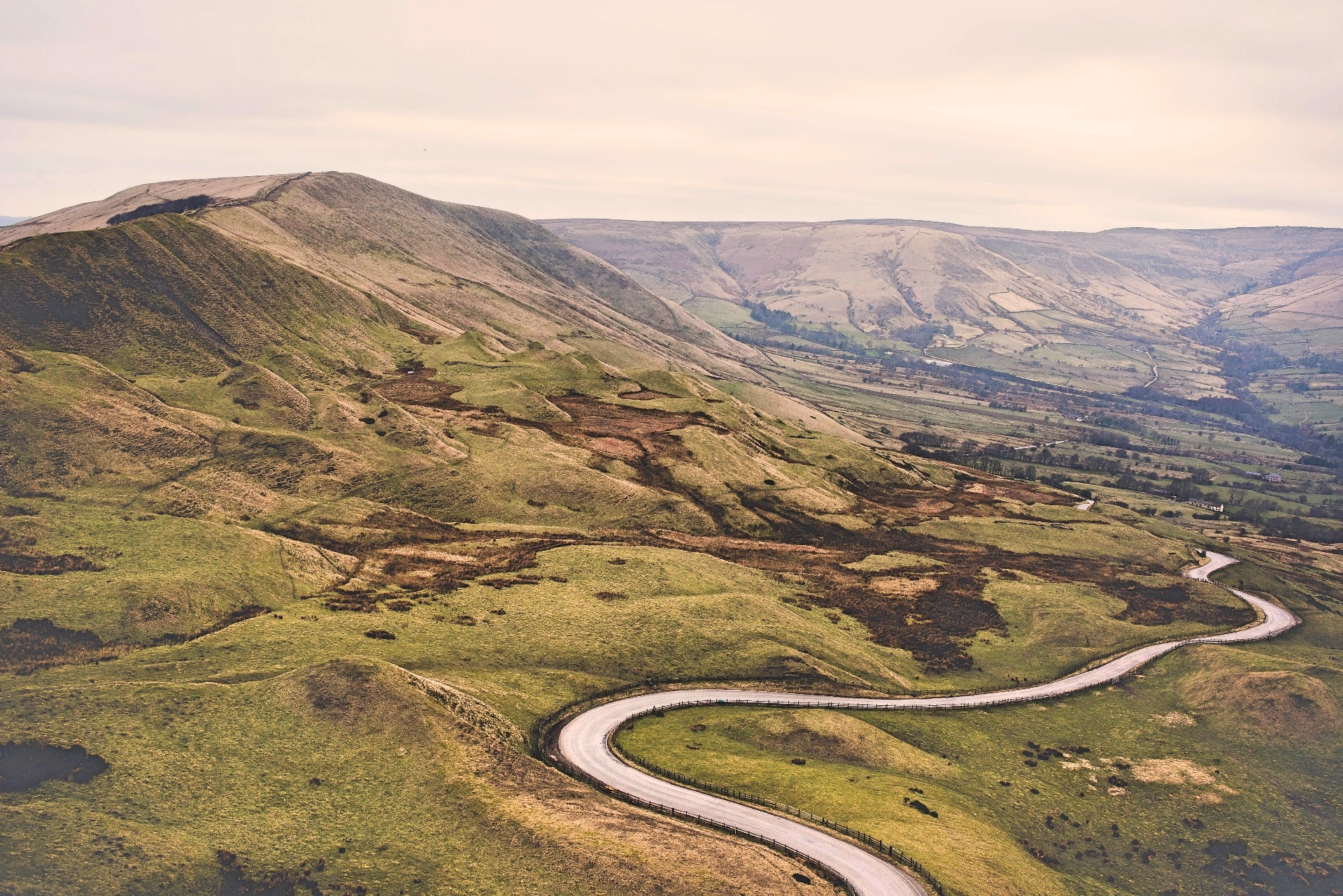
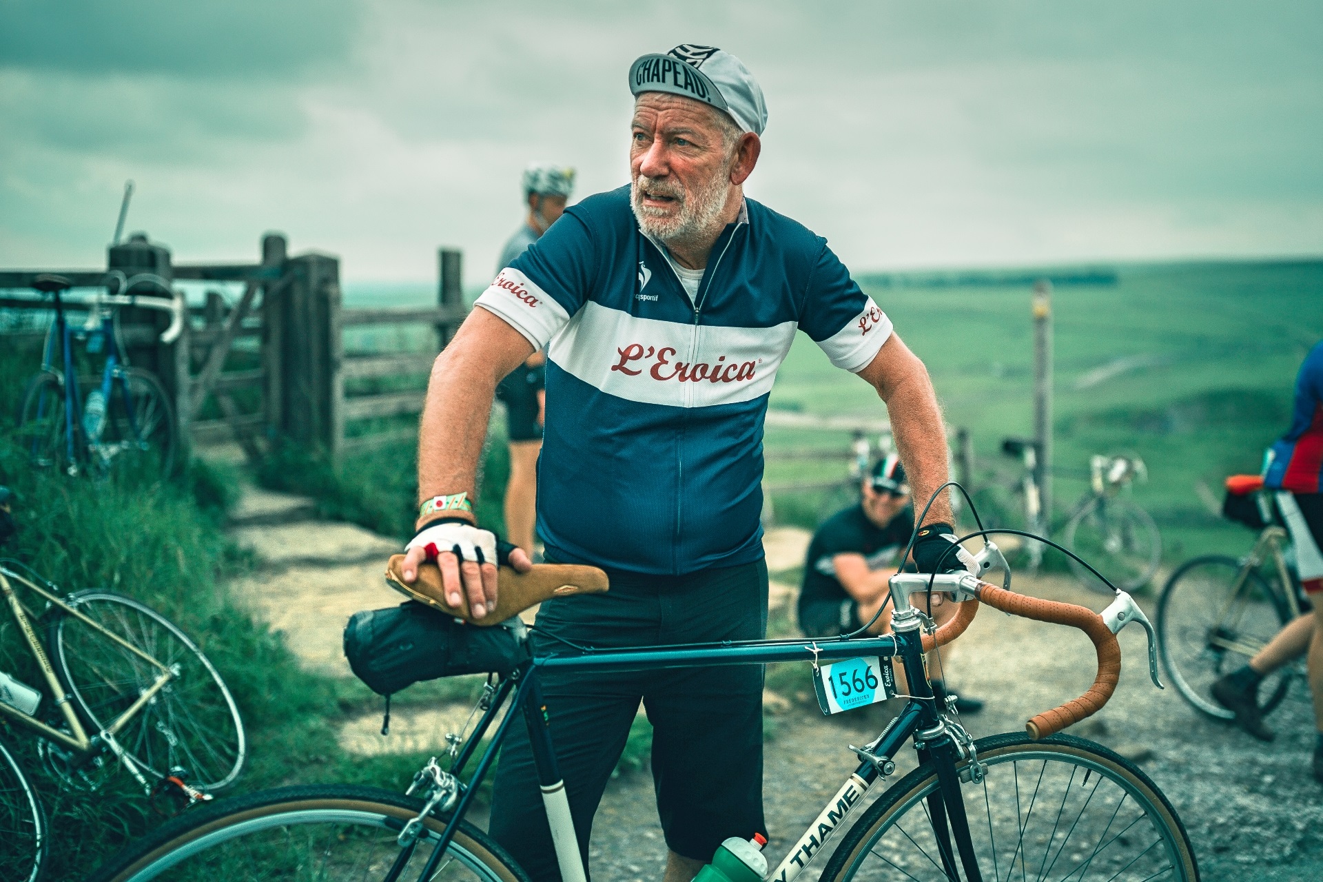
With a new base this year, the 2017 Eroica Britannia also has three new routes, offering some of the best riding in the Peak District – in vintage kit and on vintage bikes of course.

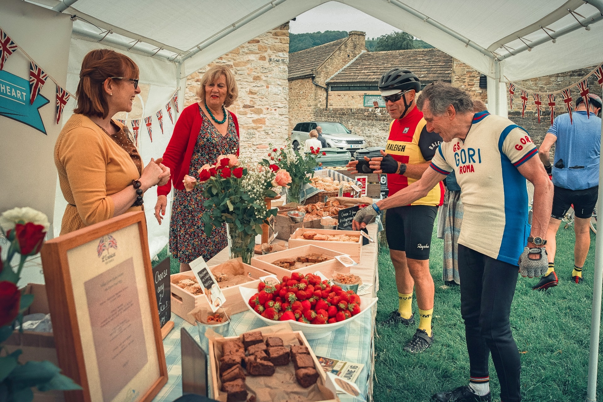
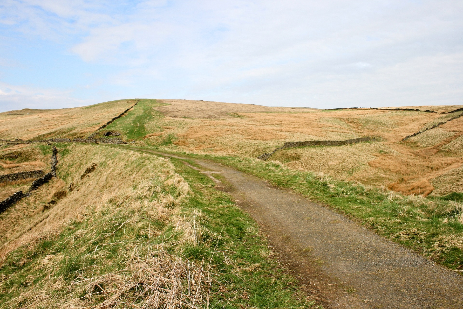
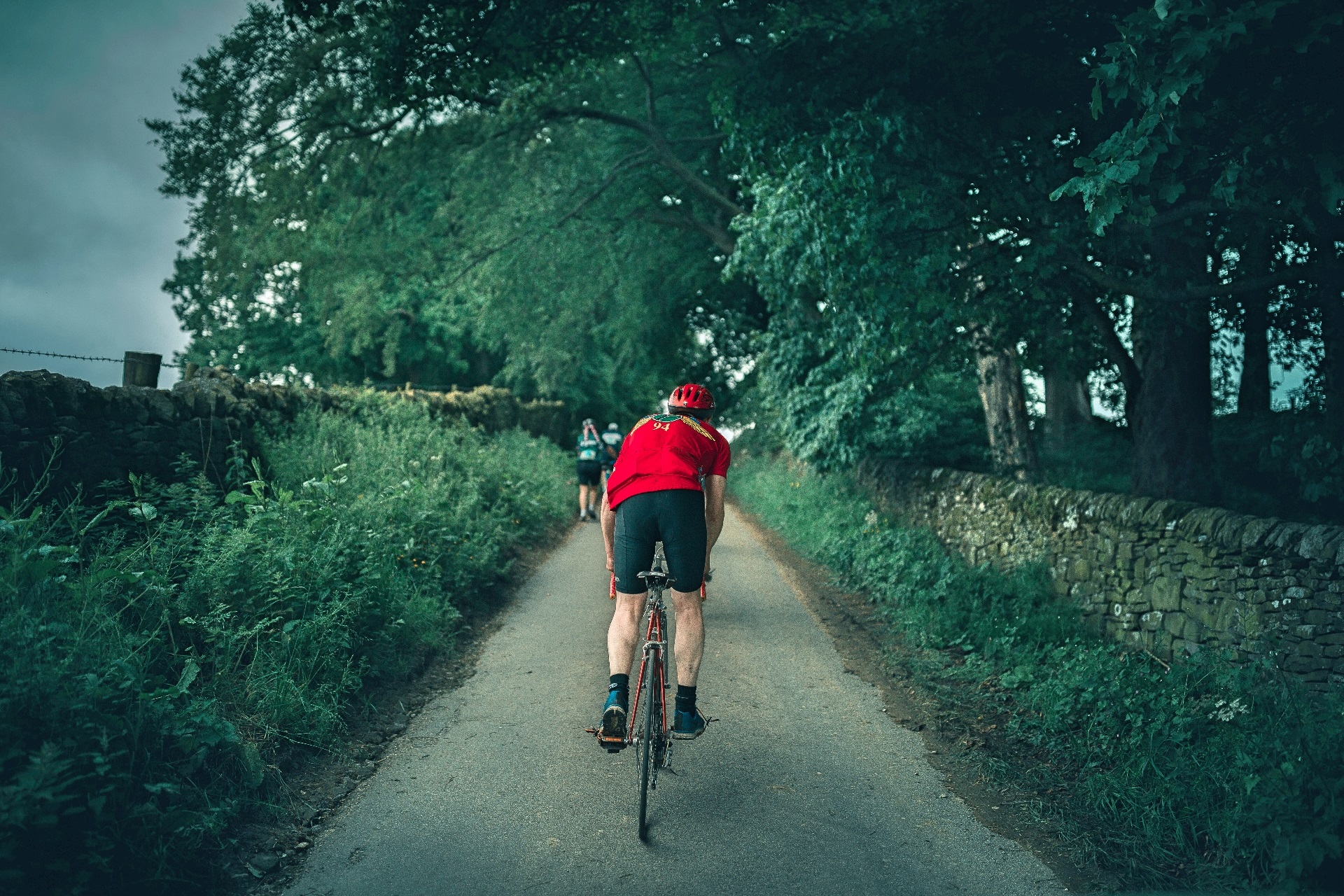
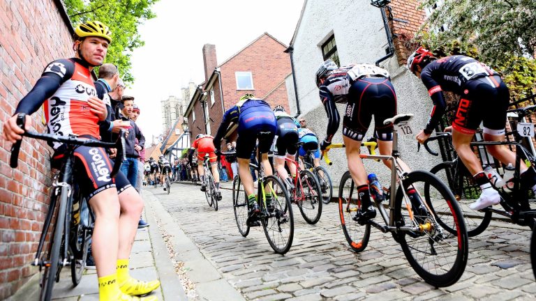
The three-day Eroica Britannia festival celebrates the ‘Best of British’ and the routes are a fitting showpiece as a result, through picturesque villages, past village greens, English pubs and off-road trails.

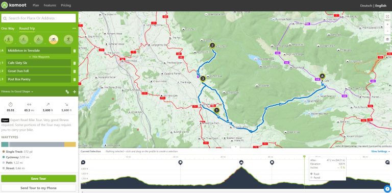
Three routes are available for the ride, which takes place on Sunday June 18 – the final day of the festival.

The Eroica Britannia ride offers three Peak District routes which aim to celebrate the Best of British (pic – Eroica)

The short route, also called the ‘Tourist’ route, covers 25 miles in total, with 1,245ft of climbing, and is rated 2/6 for difficulty.

At 55 miles, with 4,212ft, the medium route – or ‘Sportsman’ route – is rated 4/6 for difficulty, while the 100-mile long route packs in 8,741ft of the best climbing the Peak District National Park has to offer, and is graded 6/6 for difficulty.

Here are some highlights from across the three routes to get you in the mood.

High Peak Trail

All three routes start on the High Peak Trail, heading towards Parsley Hay – a former station on the now disused Cromford and High Peak railway line.

And ‘High Peak’ is a fitting name – they didn’t mess around with naming customs back in the day – as Parsley Hay, at 1,150ft above sea level, was among England’s highest stations.

Gravel trails and former railway lines are used to offer traffic-free riding and stunning vistas (pic – Eroica)

For riders on the short route, brunch is served at Monyash – former home of John Gratton, the founder of the Quakers – while riders on the other two routes continue along the old railway line.

Organisers call The High Peak Trail, Eroica Britannia’s own ‘Strade Bianche’, offering traffic-free trails and stunning Peak District vistas.

Cromford Canal descent

What goes up…

The Cromford Canal descent marks the end of the High Peak Trail for riders on the medium and long routes – an unavoidable, three-mile, steep and tricky descent to the Cromford Canal at High Peak Junction.

The feed stations also celebrate the Best of British and their quintessentially British surroundings (pic – Joey O’Connell/Eroica)

High Peak Junction is part of the Derwent Valley Mills World Heritage Site, and caution is urged on the descent which, at 1 in 14 was once the steepest railway descent in Britain.

Monsal Trail

Another traffic-free, former railway line awaits soon afterwards – after another rise up and across the moors and towards Chatsworth House.

The Monsal Trail features on both the medium and long routes, and is joined at Bakewell Station, near to Eroica’s former base.

Monsal Dale is among the stunning Peak District backdrops on the route (Pic: Joe Hunt/Creative Commons)

The 6.5-mile route to Millers Dale Railway Station – the next feed stop – includes long tunnels, views of the Wye Valley and the backdrops of Monsal Dale, Cressbrook Dale and Water-cum-Jolly Dale.

Mam Nick

Thereafter, medium route riders pick up the High Peak Trail again, but things ramp up on the long route as it starts to live up to its difficulty level.

After the quintessentially English villages of Wormhill, Tideswell and Edale comes the first major climb of the route – Mam Nick, a two-mile ascent with a gradient as steep as 15 per cent in parts.

Mam Nick is the first major climb on the long route (pic – Andrew Collins, via Wiki Commons)

The dramatic climb and stunning views on offer are more than adequate reward for the effort – but, trust us, especially on a vintage bike, it really is an effort.

Goyt Valley

The final feed stop on the long route is at Goyt Valley, which is reached via 12th-century market town Chapel-en-le-Firth.

Dubbed ‘the capital of the Peak District’, the ancient market town points the way to the Combs Reservoir, before the wooded Goyt Valley and a feed stop at the Erwood Sailing Club.

The Cromford and High Peak railway route is a key feature of the route – here it is at Goyt Valley [pic – Mike Peel (www.mikepeel.net), via Wiki Commons]

With more climbing challenges to come, make sure you top up accordingly at the 83-mile point.

Axe Edge Moor

Vast moorland and the Rive Dove’s valleys just after Longnor village allow you to spin the legs out before the day’s final major climbing challenge – Axe Edge Moor.

The long route is graded six out of six for difficulty thanks to the short, steep climbs to be negotiated (pic – Eroica)

Short, sharp and with a gradient that ramps up the countryside at close to one-in-five in parts, the climb, with heavy legs, is a sting in the tail of the Eroica route.

Chrome Hill and Parkhouse Hill are visible from the top, while the Packhorse Inn and Royal Oak at Hurdlow punctuate the way back to the High Peak Trail, and the final six-mile leg back to the finish line for riders hardy enough to take on the long route.

For more information on Eroica Britannia, or to view the full festival programme, explore the ride routes and to book tickets, visit eroicabritannia.co.uk

Sponsored by
Newsletter Terms & Conditions

Please enter your email so we can keep you updated with news, features and the latest offers. If you are not interested you can unsubscribe at any time. We will never sell your data and you'll only get messages from us and our partners whose products and services we think you'll enjoy.

Read our full Privacy Policy as well as Terms & Conditions.

production